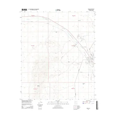
2014 Map of Bouse
USGS Topo · Published 2014About this map
Bouse serves as the focal point of this 2014 survey, situated at a desert crossroads where the Cactus Plain meets the Ranegras Plain. The settlement is defined by a grid of streets including Broadway Ave and Santa Fe Ave, reflecting its historical development along transportation corridors. The ephemeral Bouse Wash snakes through the northern and eastern portions of the quadrangle, carving a path through the arid landscape toward the southwest. To the west, the rising slopes of the Plomosa Mountains dominate the horizon, while the solitary Little Butte stands as a prominent landmark in the center of the valley. Significant local routes like La Posa Rd and Swansea Rd link the town to the surrounding mining and ranching regions, providing a clear view of the modern infrastructure and desert geography of La Paz County.
Find a feature on this map
38 named features on this map. Tap any name to fly to it.
Don’t see what you’re looking for? This feature index may not catch every label — zoom into the map to look around manually.
Map Details
Editions of this 2014 Bouse Map
This is the sole edition of this map. No revisions or reprints were ever made.
Other maps of this area

1911 · Parker
USGS Topo · 1:125,000

1923 · Signal
USGS Topo · 1:250,000

1930 · Linskey
USGS Topo · 1:62,500

1942 · Signal
USGS Topo · 1:250,000

1942 · Blythe
USGS Topo · 1:250,000

1942 · Vicksburg
USGS Topo · 1:250,000

1950 · Prescott
USGS Topo · 1:250,000

1954 · Salton Sea
USGS Topo · 1:250,000

1954 · Needles
USGS Topo · 1:250,000

1954 · Prescott
USGS Topo · 1:250,000