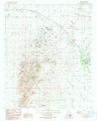
1990 Map of Bouse
USGS Topo · Published 1990About this map
Bouse serves as the central hub of this arid landscape, where the confluence of desert transport and extraction is clearly visible. The settlement is situated near Bouse Wash, accompanied by infrastructure including a Post Office, a local Cemetery, and a Landing Strip. The map reveals a high density of mining activity throughout the Plomosa Mountains, characterized by numerous Mine Shafts and a significant Open Pit Mine on the edge of the Cactus Plain. These features suggest a history of prospecting and mineral interest that shaped the region's development.
Find a feature on this map
28 named features on this map. Tap any name to fly to it.
Don’t see what you’re looking for? This feature index may not catch every label — zoom into the map to look around manually.
Map Details
Editions of this 1990 Bouse Map
This is the sole edition of this map. No revisions or reprints were ever made.
Other maps of this area

1911 · Parker
USGS Topo · 1:125,000

1923 · Signal
USGS Topo · 1:250,000

1930 · Linskey
USGS Topo · 1:62,500

1942 · Signal
USGS Topo · 1:250,000

1942 · Blythe
USGS Topo · 1:250,000

1942 · Vicksburg
USGS Topo · 1:250,000

1950 · Prescott
USGS Topo · 1:250,000

1954 · Salton Sea
USGS Topo · 1:250,000

1954 · Needles
USGS Topo · 1:250,000

1954 · Prescott
USGS Topo · 1:250,000