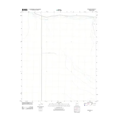
2011 Map of Bouse NW
USGS Topo · Published 2011About this map
Bouse Wash dominates the northern reaches of this arid landscape in La Paz County, where ephemeral watercourses drain toward the Colorado River valley. This 2011 survey illustrates a sparsely developed desert expanse punctuated by utilitarian features like Landfill Rd and the localized water source at Thumb Butte Tank. The presence of the Wall label in the northeast indicates a specific localized landmark amidst the open terrain. This map serves as a clear record of the modern infrastructure and natural drainage patterns near the western edge of Arizona just before the mid-2010s, capturing the area's transition from open range to more managed land use.
Find a feature on this map
4 named features on this map. Tap any name to fly to it.
Don’t see what you’re looking for? This feature index may not catch every label — zoom into the map to look around manually.
Map Details
Editions of this 2011 Bouse NW Map
This is the sole edition of this map. No revisions or reprints were ever made.
Other maps of this area

1911 · Parker
USGS Topo · 1:125,000

1930 · Linskey
USGS Topo · 1:62,500

1931 · Moon Mtn
USGS Topo · 1:62,500

1932 · Moon Mtn
USGS Topo · 1:62,500

1942 · Blythe
USGS Topo · 1:250,000

1942 · MOON MTN
USGS Topo · 1:62,500

1943 · Parker
USGS Topo · 1:62,500

1949 · Parker
USGS Topo · 1:62,500

1950 · Parker
USGS Topo · 1:62,500

1954 · Salton Sea
USGS Topo · 1:250,000