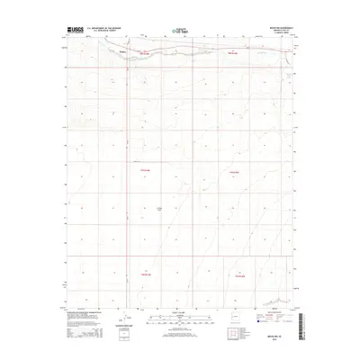
2014 Map of Bouse NW
USGS Topo · Published 2014About this map
Parker sits at the northern edge of this arid landscape, positioned where the desert meets the primary transit corridors of the region. The terrain is defined by the broad expanse of the La Posa Plain, a low-lying desert floor characterized by subtle elevation changes and drainage patterns that feed into the prominent Bouse Wash. This ephemeral waterway cuts across the northern portion of the quadrangle, paralleling Az-72.
Find a feature on this map
14 named features on this map. Tap any name to fly to it.
Don’t see what you’re looking for? This feature index may not catch every label — zoom into the map to look around manually.
Map Details
Editions of this 2014 Bouse NW Map
This is the sole edition of this map. No revisions or reprints were ever made.
Other maps of this area

1911 · Parker
USGS Topo · 1:125,000

1930 · Linskey
USGS Topo · 1:62,500

1931 · Moon Mtn
USGS Topo · 1:62,500

1932 · Moon Mtn
USGS Topo · 1:62,500

1942 · Blythe
USGS Topo · 1:250,000

1942 · MOON MTN
USGS Topo · 1:62,500

1943 · Parker
USGS Topo · 1:62,500

1949 · Parker
USGS Topo · 1:62,500

1950 · Parker
USGS Topo · 1:62,500

1954 · Salton Sea
USGS Topo · 1:250,000