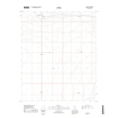
2018 Map of Bouse NW
USGS Topo · Published 2018About this map
Parker serves as the primary focal point in the northern reach of this desert survey, where Central Ave extends toward the ephemeral course of Bouse Wash. The landscape is dominated by the broad expanse of the La Posa Plain, a characteristically arid region of western Arizona. Evidence of modern infrastructure is sparse, limited to few secondary routes like Landfill Rd and La Posa Rd that cut across the open terrain. The map illustrates a transition from the drainage basins of the wash to the flatter alluvial surfaces of the plain, capturing the spatial relationship between the town's southern fringe and the undeveloped desert floor during the late 2010s.
Find a feature on this map
12 named features on this map. Tap any name to fly to it.
Don’t see what you’re looking for? This feature index may not catch every label — zoom into the map to look around manually.
Map Details
Editions of this 2018 Bouse NW Map
This is the sole edition of this map. No revisions or reprints were ever made.
Other maps of this area

1911 · Parker
USGS Topo · 1:125,000

1930 · Linskey
USGS Topo · 1:62,500

1931 · Moon Mtn
USGS Topo · 1:62,500

1932 · Moon Mtn
USGS Topo · 1:62,500

1942 · Blythe
USGS Topo · 1:250,000

1942 · MOON MTN
USGS Topo · 1:62,500

1943 · Parker
USGS Topo · 1:62,500

1949 · Parker
USGS Topo · 1:62,500

1950 · Parker
USGS Topo · 1:62,500

1954 · Salton Sea
USGS Topo · 1:250,000