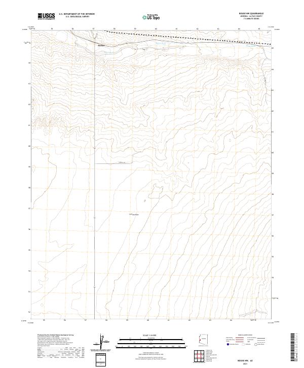
2021 Map of Bouse NW
USGS Topo · Published 2021About this map
La Posa Plain dominates this 2021 topographic survey of western Arizona, revealing a landscape defined by desert washes and modern transport routes. The northern reaches are bisected by Bouse Wash, an ephemeral drainage that cuts through the arid terrain. Settlement is sparse, with the edge of Parker appearing in the north-central portion of the map. This modern survey reflects the enduring grid of the Public Land Survey System, with township boundaries such as t8n r19w and t7n r18w framing the open desert. The map captures the infrastructure of the contemporary rural landscape through roads like Landfill Rd and Central Ave, which provide access to this open expanse. Researchers can study the subtle contour shifts that define the desert floor and trace the exact paths of desert connectors like La Posa Rd as they navigate the basin.
Find a feature on this map
12 named features on this map. Tap any name to fly to it.
Don’t see what you’re looking for? This feature index may not catch every label — zoom into the map to look around manually.
Map Details
Editions of this 2021 Bouse NW Map
This is the sole edition of this map. No revisions or reprints were ever made.
Other maps of this area

1911 · Parker
USGS Topo · 1:125,000

1930 · Linskey
USGS Topo · 1:62,500

1931 · Moon Mtn
USGS Topo · 1:62,500

1932 · Moon Mtn
USGS Topo · 1:62,500

1942 · Blythe
USGS Topo · 1:250,000

1942 · MOON MTN
USGS Topo · 1:62,500

1943 · Parker
USGS Topo · 1:62,500

1949 · Parker
USGS Topo · 1:62,500

1950 · Parker
USGS Topo · 1:62,500

1954 · Salton Sea
USGS Topo · 1:250,000