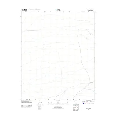
2011 Map of Bouse SW
USGS Topo · Published 2011About this map
Arid basin landscapes in La Paz County are defined here by a sparse network of desert roads and trails. The primary thoroughfare, Bouse-Quartzsite Rd, cuts across the southwestern corner of the quadrangle, serving as a critical link in the regional transportation corridor between established desert outposts. This route is joined by Plomosa Rd and the more primitive Sunkist Trl, which branch out toward the rugged interior. These roads trace the natural contours of the valley floor, highlighting how human movement in this part of Arizona is dictated by the availability of passible terrain between mountain ranges. State Route 95 also segments the western portion of the sheet, providing a North-South axis through this largely undeveloped expanse of the Sonoran Desert.
Find a feature on this map
4 named features on this map. Tap any name to fly to it.
Don’t see what you’re looking for? This feature index may not catch every label — zoom into the map to look around manually.
Map Details
Editions of this 2011 Bouse SW Map
This is the sole edition of this map. No revisions or reprints were ever made.
Other maps of this area
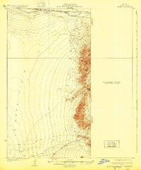
1930 · Linskey
USGS Topo · 1:62,500
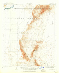
1931 · Moon Mtn
USGS Topo · 1:62,500
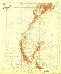
1932 · Moon Mtn
USGS Topo · 1:62,500
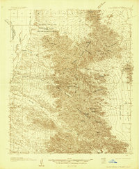
1933 · Cunningham Mtn
USGS Topo · 1:48,000
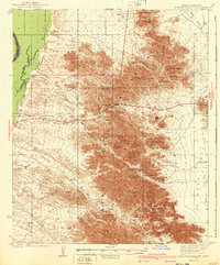
1940 · Dome Rock Mts
USGS Topo · 1:62,500

1942 · Blythe
USGS Topo · 1:250,000
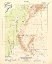
1942 · MOON MTN
USGS Topo · 1:62,500

1954 · Salton Sea
USGS Topo · 1:250,000

1955 · Salton Sea
USGS Topo · 1:250,000
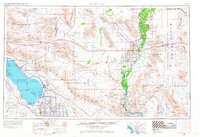
1959 · Salton Sea
USGS Topo · 1:250,000