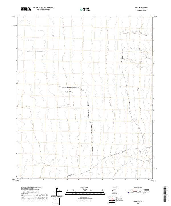
2021 Map of Bouse SW
USGS Topo · Published 2021About this map
La Posa Plain dominates the landscape of this corner of La Paz County, illustrating the expansive desert terrain characteristic of western Arizona. The map details a network of thoroughfares that reveal the regional connection to the local mining and transit history, specifically through the presence of Cyprus Mine Rd and Old Bouse Rd. These routes, along with Plomosa Rd, delineate how modern infrastructure follows the natural contours of the plain. The survey provides precise township and range data, including t6n r19w and t5n r18w, which is essential for researchers locating specific land parcels or historical claims within this arid environment.
Find a feature on this map
8 named features on this map. Tap any name to fly to it.
Don’t see what you’re looking for? This feature index may not catch every label — zoom into the map to look around manually.
Map Details
Editions of this 2021 Bouse SW Map
This is the sole edition of this map. No revisions or reprints were ever made.
Other maps of this area

1930 · Linskey
USGS Topo · 1:62,500

1931 · Moon Mtn
USGS Topo · 1:62,500

1932 · Moon Mtn
USGS Topo · 1:62,500

1933 · Cunningham Mtn
USGS Topo · 1:48,000

1940 · Dome Rock Mts
USGS Topo · 1:62,500

1942 · Blythe
USGS Topo · 1:250,000

1942 · MOON MTN
USGS Topo · 1:62,500

1954 · Salton Sea
USGS Topo · 1:250,000

1955 · Salton Sea
USGS Topo · 1:250,000

1959 · Salton Sea
USGS Topo · 1:250,000