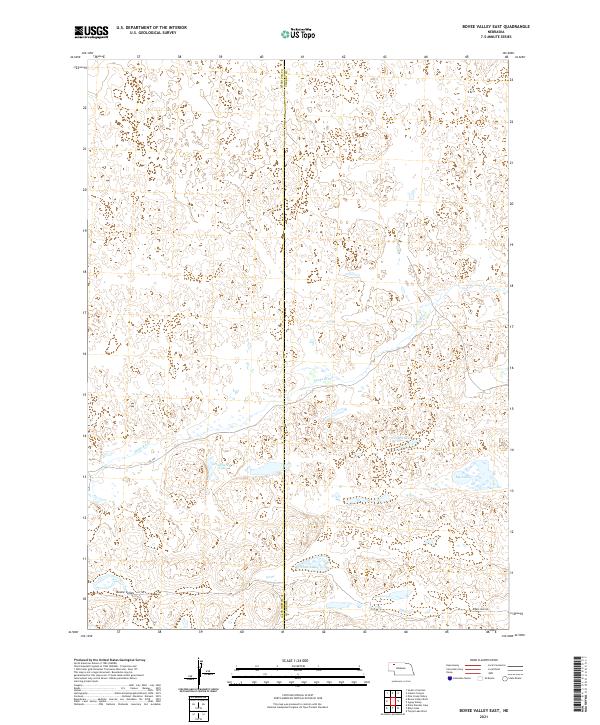
2021 Map of Bovee Valley East
USGS Topo · Published 2021About this map
Bovee Valley characterizes the hydrologic and topographic landscape of the Nebraska Sandhills, where the Snake River winds across the terrain. This environment is defined by a high concentration of natural basins and water bodies, including Hart Lake, Hackberry Lake, and Big Lake. The map reveals a sparsely settled region primarily organized by the Public Land Survey System, with township and range lines spanning the border of Sheridan and Cherry counties. Human activity is evidenced by a network of rural routes such as Fawn Lake Rd and designated trails like 423 Trl, which provide access to the remote lake basins and the river valley. The concentration of wetlands and lakes suggests a landscape shaped by the unique aquifer-driven hydrology of the region, where water levels are inextricably linked to the sandy substrate.
Find a feature on this map
16 named features on this map. Tap any name to fly to it.
Don’t see what you’re looking for? This feature index may not catch every label — zoom into the map to look around manually.
Map Details
Editions of this 2021 Bovee Valley East Map
This is the sole edition of this map. No revisions or reprints were ever made.
Other maps of this area

1948 · Spade Ranch
USGS Topo · 1:62,500

1949 · Turpin Lake
USGS Topo · 1:62,500

1950 · Spade Ranch
USGS Topo · 1:62,500

1951 · Gypsy Valley
USGS Topo · 1:62,500

1951 · Turpin Lake
USGS Topo · 1:62,500

1955 · Alliance
USGS Topo · 1:250,000

1957 · Alliance
USGS Topo · 1:250,000

1957 · Valentine
USGS Topo · 1:250,000

1958 · Alliance
USGS Topo · 1:250,000

1959 · Valentine
USGS Topo · 1:250,000