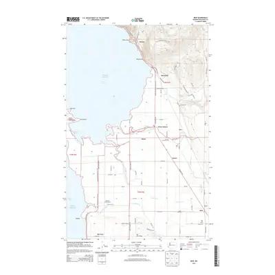
2014 Map of Bow
USGS Topo · Published 2014About this map
Edison and Blanchard sit at the intersection of mountain slopes and coastal plains where the Samish River meets Samish Bay. This landscape is defined by its intricate drainage systems, featuring the Joe Leary Slough, Edison Slough, and Swash Slough which cut through fertile agricultural land. The transition from the high relief near Pigeon Point and Windy Point to the low-lying flats of Padilla Bay highlights the region's geography, which has long supported diverse farming operations.
Find a feature on this map
81 named features on this map. Tap any name to fly to it.
Don’t see what you’re looking for? This feature index may not catch every label — zoom into the map to look around manually.
Map Details
Editions of this 2014 Bow Map
This is the sole edition of this map. No revisions or reprints were ever made.
Other maps of this area

1911 · Mount Vernon
USGS Topo · 1:125,000
1918 · Samish Lake
USGS Topo · 1:62,500
1940 · Mt Vernon
USGS Topo · 1:62,500
1943 · Mt Vernon
USGS Topo · 1:62,500
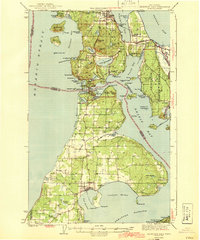
1943 · Deception Pass
USGS Topo · 1:62,500
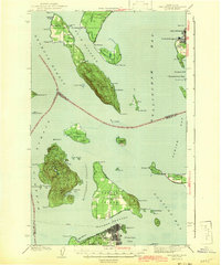
1943 · Anacortes
USGS Topo · 1:62,500
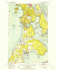
1951 · Deception Pass
USGS Topo · 1:62,500
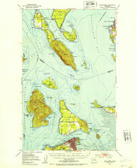
1951 · Anacortes
USGS Topo · 1:62,500
1952 · Lake Whatcom
USGS Topo · 1:24,000
1952 · Alger
USGS Topo · 1:24,000