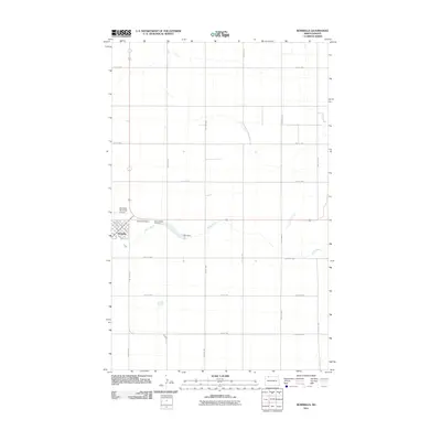
2011 Map of Bowbells
USGS Topo · Published 2011About this map
Bowbells serves as the focal point of this Burke County survey, situated at the junction of the region's agricultural road network. The town layout is defined by its relation to the rail line, evidenced by Railway St SE, and supported by local infrastructure like the Bowbells Municipal Airport. To the east, the landscape is marked by the winding path of Stony Creek, which is intercepted by the CCC Dam, a notable water-management feature that speaks to the engineering history of the northern plains. This 2011 record documents a community centered on tradition and transit, preserving the locations of Bowbells Cemetery and Saint Joseph Cemetery on the town's western edge. The surrounding sections follow a strict grid of section roads, including County Rd 17 and numerous numbered routes like 97th St NW, reflecting the systematic settlement pattern of North Dakota's wheat-growing country.
Find a feature on this map
31 named features on this map. Tap any name to fly to it.
Don’t see what you’re looking for? This feature index may not catch every label — zoom into the map to look around manually.
Map Details
Editions of this 2011 Bowbells Map
This is the sole edition of this map. No revisions or reprints were ever made.
Other maps of this area

1947 · Bowbells NW
USGS Topo · 1:24,000

1947 · Bowbells
USGS Topo · 1:24,000

1948 · Kenmare
USGS Topo · 1:24,000

1948 · Coteau
USGS Topo · 1:24,000

1948 · Vanville NE
USGS Topo · 1:24,000

1949 · Bowbells
USGS Topo · 1:24,000

1949 · Bowbells SE
USGS Topo · 1:24,000

1949 · Bowbells NW
USGS Topo · 1:24,000

1949 · Niobe
USGS Topo · 1:24,000

1949 · Bowbells NE
USGS Topo · 1:24,000