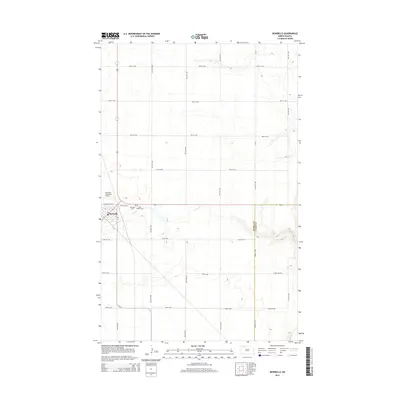
2014 Map of Bowbells
USGS Topo · Published 2014About this map
Bowbells serves as the focal point of this North Dakota prairie landscape, situated near the western edge of the quadrangle. The town's local history is anchored by Bowbells Cem and Saint Joseph Cem, which lie just east of the main settlement area. The terrain is characterized by the meandering path of Stony Cr, which flows eastward through the center of the map. This 2014 survey reveals a highly organized township grid system, with named roads like 100th St NW and 70th Ave NW defining the agricultural sections. The Bowbells Municipal Airport provides a key transportation link for this rural community, located north of the town center. The map also delineates the jurisdictional boundary between Burke and Ward Counties, offering a clear view of how these administrative lines intersect with the natural drainage and local infrastructure.
Find a feature on this map
26 named features on this map. Tap any name to fly to it.
Don’t see what you’re looking for? This feature index may not catch every label — zoom into the map to look around manually.
Map Details
Editions of this 2014 Bowbells Map
This is the sole edition of this map. No revisions or reprints were ever made.
Other maps of this area
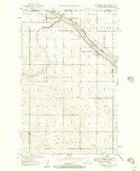
1947 · Bowbells NW
USGS Topo · 1:24,000
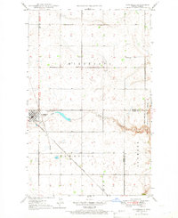
1947 · Bowbells
USGS Topo · 1:24,000
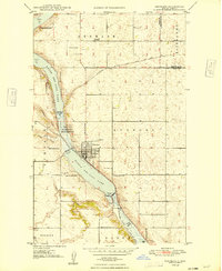
1948 · Kenmare
USGS Topo · 1:24,000
1948 · Coteau
USGS Topo · 1:24,000
1948 · Vanville NE
USGS Topo · 1:24,000
1949 · Bowbells
USGS Topo · 1:24,000
1949 · Bowbells SE
USGS Topo · 1:24,000
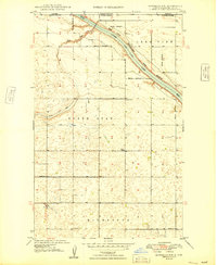
1949 · Bowbells NW
USGS Topo · 1:24,000
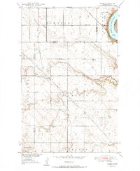
1949 · Niobe
USGS Topo · 1:24,000
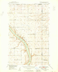
1949 · Bowbells NE
USGS Topo · 1:24,000