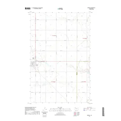
2017 Map of Bowbells
USGS Topo · Published 2017About this map
Bowbells serves as the focal point of this North Dakota landscape, situated at the intersection of a grid-like network of rural roads such as 96th St NW and 70th Ave NW. The town's layout is defined by the legacy of rail transport, evident in streets like Railway St SE, while the Bowbells Municipal Airport marks its modern connection to the region. The surrounding terrain is shaped by the winding path of Stony Creek, which feeds toward the eastern edge of the quadrangle. Local history and genealogy are anchored at the Bowbells Cemetery and Saint Joseph Cemetery, located just west of the town center. The map also captures the boundary between Burke and Ward Counties as the landscape transitions toward the waters of Upper Des Lacs Lake.
Find a feature on this map
32 named features on this map. Tap any name to fly to it.
Don’t see what you’re looking for? This feature index may not catch every label — zoom into the map to look around manually.
Map Details
Editions of this 2017 Bowbells Map
This is the sole edition of this map. No revisions or reprints were ever made.
Other maps of this area
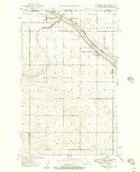
1947 · Bowbells NW
USGS Topo · 1:24,000
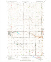
1947 · Bowbells
USGS Topo · 1:24,000
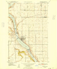
1948 · Kenmare
USGS Topo · 1:24,000
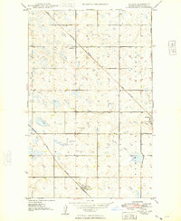
1948 · Coteau
USGS Topo · 1:24,000
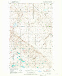
1948 · Vanville NE
USGS Topo · 1:24,000
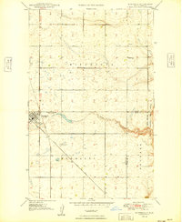
1949 · Bowbells
USGS Topo · 1:24,000
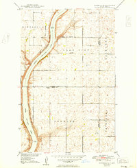
1949 · Bowbells SE
USGS Topo · 1:24,000
1949 · Bowbells NW
USGS Topo · 1:24,000
1949 · Niobe
USGS Topo · 1:24,000
1949 · Bowbells NE
USGS Topo · 1:24,000