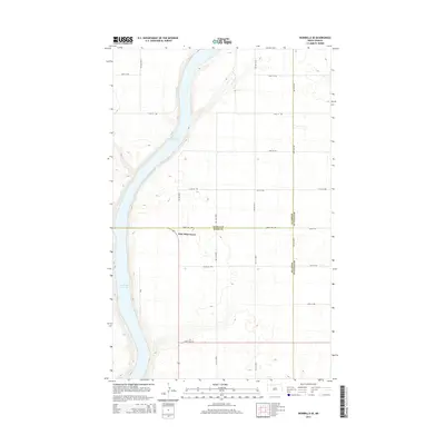
2014 Map of Bowbells SE
USGS Topo · Published 2014About this map
Upper Des Lacs Lake dominates the western portion of this landscape, its waters filling a glacial valley that cuts through the high plains of the North Dakota borderlands. In 2014, the area remains defined by a strict section-line grid of rural roads, including 492nd St NW and 478th St NW, which serve the expansive agricultural tracts surrounding the lake. The settlement of Nine Mile Corner marks a rare concentration of activity near the convergence of three counties. This map serves as a precise record of the administrative intersections where Burke Co, Renville Co, and Ward Co boundaries meet, illustrating the persistence of early prairie land divisions into the twenty-first century.
Find a feature on this map
23 named features on this map. Tap any name to fly to it.
Don’t see what you’re looking for? This feature index may not catch every label — zoom into the map to look around manually.
Map Details
Editions of this 2014 Bowbells SE Map
This is the sole edition of this map. No revisions or reprints were ever made.
Other maps of this area
1947 · Bowbells NW
USGS Topo · 1:24,000
1947 · Tolley
USGS Topo · 1:62,500
1947 · Bowbells
USGS Topo · 1:24,000
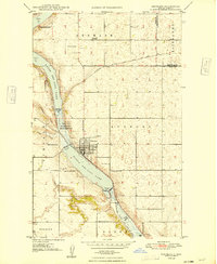
1948 · Kenmare
USGS Topo · 1:24,000
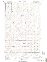
1948 · Norma
USGS Topo · 1:24,000
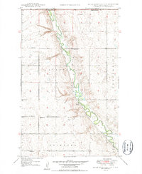
1948 · Mouse River Park NW
USGS Topo · 1:24,000
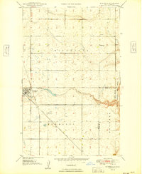
1949 · Bowbells
USGS Topo · 1:24,000
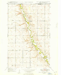
1949 · Mouse River Park NW
USGS Topo · 1:24,000
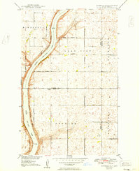
1949 · Bowbells SE
USGS Topo · 1:24,000
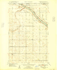
1949 · Bowbells NW
USGS Topo · 1:24,000