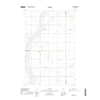
2017 Map of Bowbells SE
USGS Topo · Published 2017About this map
Upper Des Lacs Lake dominates the western edge of this landscape, carving a deep valley through the high prairie of northwestern North Dakota. The map captures a rare geographic junction where three counties meet: Burke, Ward, and Renville. This rural expanse is defined by the rigid grid of the Public Land Survey System, with township lines for t162n r88w and its neighbors overlaying a terrain dotted with small wetlands and prairie potholes. Local transit is facilitated by a network of section-line roads such as 100th St NW and 548th Ave NW, which navigate the upland plateaus and the descent toward the lake. The transition from the flat agricultural fields to the coulees and draws leading to the water provides a clear view of the region's glacial topography.
Find a feature on this map
29 named features on this map. Tap any name to fly to it.
Don’t see what you’re looking for? This feature index may not catch every label — zoom into the map to look around manually.
Map Details
Editions of this 2017 Bowbells SE Map
This is the sole edition of this map. No revisions or reprints were ever made.
Other maps of this area
1947 · Bowbells NW
USGS Topo · 1:24,000
1947 · Tolley
USGS Topo · 1:62,500
1947 · Bowbells
USGS Topo · 1:24,000
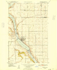
1948 · Kenmare
USGS Topo · 1:24,000
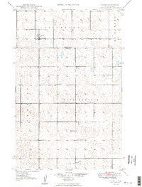
1948 · Norma
USGS Topo · 1:24,000
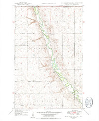
1948 · Mouse River Park NW
USGS Topo · 1:24,000
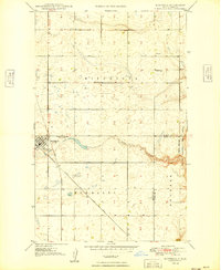
1949 · Bowbells
USGS Topo · 1:24,000
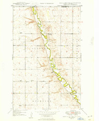
1949 · Mouse River Park NW
USGS Topo · 1:24,000
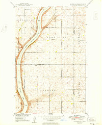
1949 · Bowbells SE
USGS Topo · 1:24,000
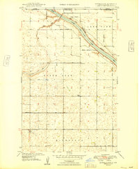
1949 · Bowbells NW
USGS Topo · 1:24,000