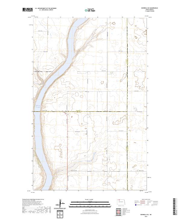
2024 Map of Bowbells SE
USGS Topo · Published 2024About this map
Des Lacs National Wildlife Refuge dominates the western portion of this 2024 survey, protecting the riparian corridor along Upper Des Lacs Lake. The landscape represents a modern look at the intersection of Burke, Renville, and Ward counties, where a disciplined grid of rural roads, including 96th St NW and 506th St NW, segments the surrounding prairie. This quadrangle captures the contemporary conservation footprint in North Dakota, illustrating the massive wildlife management area that spans the river valley. The map is primarily characterized by its vast, open hydrology and the administrative boundaries of the Public Land Survey System, specifically t162n r88w and surrounding townships, which define the property lines and farmstead access routes of the region today.
Find a feature on this map
29 named features on this map. Tap any name to fly to it.
Don’t see what you’re looking for? This feature index may not catch every label — zoom into the map to look around manually.
Map Details
Editions of this 2024 Bowbells SE Map
This is the sole edition of this map. No revisions or reprints were ever made.
Other maps of this area

1947 · Bowbells NW
USGS Topo · 1:24,000

1947 · Tolley
USGS Topo · 1:62,500

1947 · Bowbells
USGS Topo · 1:24,000

1948 · Kenmare
USGS Topo · 1:24,000

1948 · Norma
USGS Topo · 1:24,000

1948 · Mouse River Park NW
USGS Topo · 1:24,000

1949 · Bowbells
USGS Topo · 1:24,000

1949 · Mouse River Park NW
USGS Topo · 1:24,000

1949 · Bowbells SE
USGS Topo · 1:24,000

1949 · Bowbells NW
USGS Topo · 1:24,000