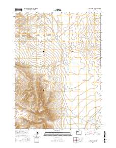
2017 Map of Bowden Ranch
USGS Topo · Published 2017About this map
Bowden Ranch serves as the focal point for this Malheur County landscape, situated where the high desert terrain of the Red Hills meets the drainage networks of the Owyhee region. The map captures a complex system of seasonal watercourses and topographic shifts, from the deeply carved Tudor Canyon and Wire Corral Canyon to the prominent rise of the Bowden Hills. These landforms suggest a long history of ranching and resource management in a semi-arid environment, where water is the primary architect of both the geology and human movement. Access across this interior section of Oregon is defined by primitive routes such as Bowden Ranch Rd and Rattlesnake Creek Rd, which follow the natural contours of the land. The drainage of Rattlesnake Cr and its tributaries like Chimney Cr and Battle Cr illustrate the vital role of intermittent streams in shaping the cattle country of the American West.
Find a feature on this map
16 named features on this map. Tap any name to fly to it.
Don’t see what you’re looking for? This feature index may not catch every label — zoom into the map to look around manually.
Map Details
Editions of this 2017 Bowden Ranch Map
This is the sole edition of this map. No revisions or reprints were ever made.
Other maps of this area

1955 · Jordan Valley
USGS Topo · 1:250,000

1957 · Jordan Valley
USGS Topo · 1:250,000

1958 · Jordan Valley
USGS Topo · 1:250,000
1979 · Rockhouse Reservoir
USGS Topo · 1:24,000
1979 · Bowden Ranch
USGS Topo · 1:24,000
1979 · Anderson Reservoir
USGS Topo · 1:24,000
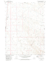
1979 · Flat Top Mtn SE
USGS Topo · 1:24,000
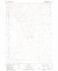
1979 · The Basin
USGS Topo · 1:24,000
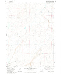
1980 · Jackies Butte
USGS Topo · 1:24,000
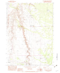
1982 · Rattlesnake Canyon
USGS Topo · 1:24,000