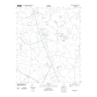
2011 Map of Bowdens Pond
USGS Topo · Published 2011About this map
Happy Valley and the small settlement of Autney anchor this McDuffie County landscape, where the local economy is visibly shaped by industrial and agricultural water management. The presence of Kaolin Lake and Kaolin Mines Lake reflects the region's significant mineral extraction history, while numerous smaller impoundments like Bowdens Pond Number One and Arringtons Pond dot the drainage basins of Brier Creek and Reedy Creek.
Find a feature on this map
104 named features on this map. Tap any name to fly to it.
Don’t see what you’re looking for? This feature index may not catch every label — zoom into the map to look around manually.
Map Details
Editions of this 2011 Bowdens Pond Map
This is the sole edition of this map. No revisions or reprints were ever made.
Other maps of this area

1920 · Stapleton
USGS Topo · 1:62,500

1922 · Harlem
USGS Topo · 1:62,500

1948 · Harlem
USGS Topo · 1:62,500

1948 · Stapleton
USGS Topo · 1:62,500

1948 · Harlem
USGS Topo · 1:24,000

1948 · Thomson East
USGS Topo · 1:24,000

1950 · Dearing
USGS Topo · 1:24,000

1950 · Wrens
USGS Topo · 1:24,000
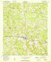
1950 · Harlem
USGS Topo · 1:24,000

1950 · Matthews
USGS Topo · 1:24,000