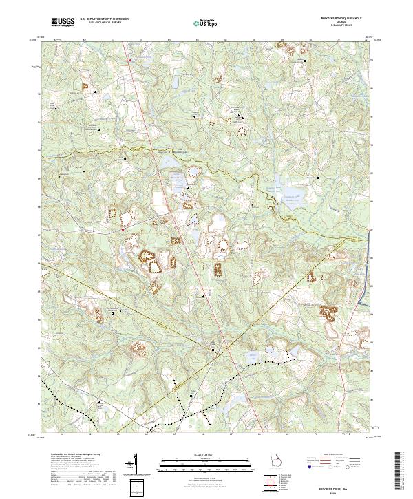
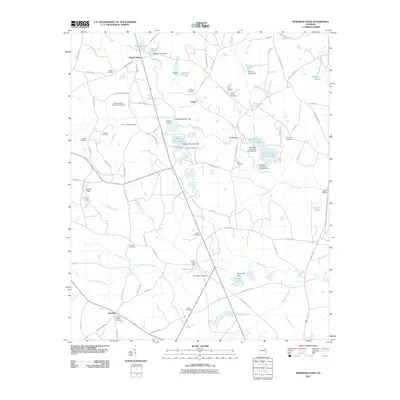
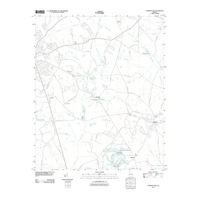
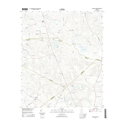
2024 Map of Bowdens Pond
USGS Topo · Published 2024About this map
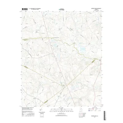
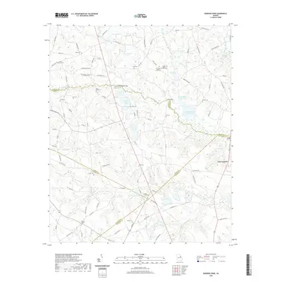
The intersections of McDuffie, Warren, Glascock, and Jefferson counties define this rural Georgia landscape, where agricultural tradition meets industrial extraction. Kaolin Mines Lake serves as a prominent indicator of the region's white-clay mining heritage, situated near Brasstown Gap and Still Branch. The map is particularly dense with genealogical markers, including numerous family and community burial grounds such as Williams Cem, Mount Aldred Cem, and the Alleluia Community Cem.
Find a feature on this map
107 named features on this map. Tap any name to fly to it.
Don’t see what you’re looking for? This feature index may not catch every label — zoom into the map to look around manually.
Map Details
Editions of this 2024 Bowdens Pond Map
This is the sole edition of this map. No revisions or reprints were ever made.
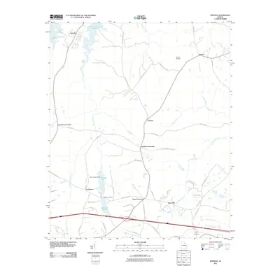
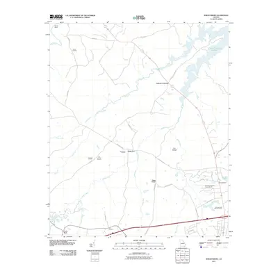
Historical Maps of Happy Valley Through Time
31 maps found
1948 Thomson East
McDuffie County, GA
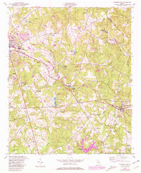
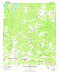
1950 Bowdens Pond
McDuffie County, GA
1972 Thomson West
McDuffie County, GA
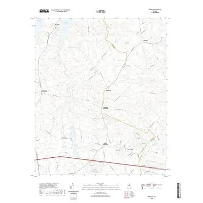
1972 Winfield
McDuffie County, GA
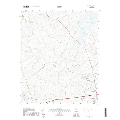
1972 Wrightsboro
McDuffie County, GA
1979 Winfield
McDuffie County, GA
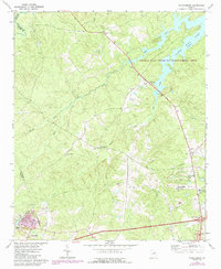
2011 Bowdens Pond
McDuffie County, GA
2011 Thomson East
McDuffie County, GA
2011 Thomson West
McDuffie County, GA
2011 Winfield
McDuffie County, GA
2011 Wrightsboro
McDuffie County, GA
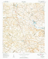
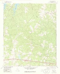
2014 Bowdens Pond
McDuffie County, GA
2014 Thomson East
McDuffie County, GA
2014 Thomson West
McDuffie County, GA
2014 Winfield
McDuffie County, GA
2014 Wrightsboro
McDuffie County, GA
2017 Bowdens Pond
McDuffie County, GA

2017 Thomson East
McDuffie County, GA
2017 Thomson West
McDuffie County, GA
2017 Winfield
McDuffie County, GA
2017 Wrightsboro
McDuffie County, GA
2020 Bowdens Pond
McDuffie County, GA
2020 Thomson East
McDuffie County, GA
2020 Thomson West
McDuffie County, GA
2020 Winfield
McDuffie County, GA
2020 Wrightsboro
McDuffie County, GA
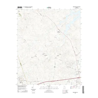
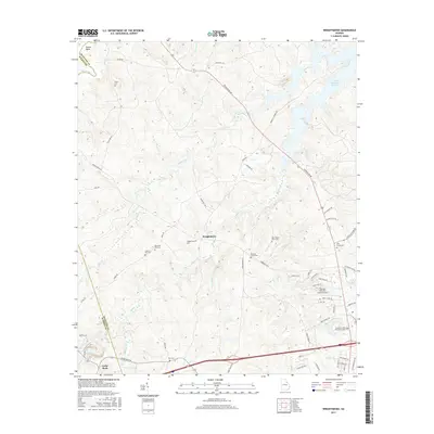
2024 Bowdens Pond
McDuffie County, GA
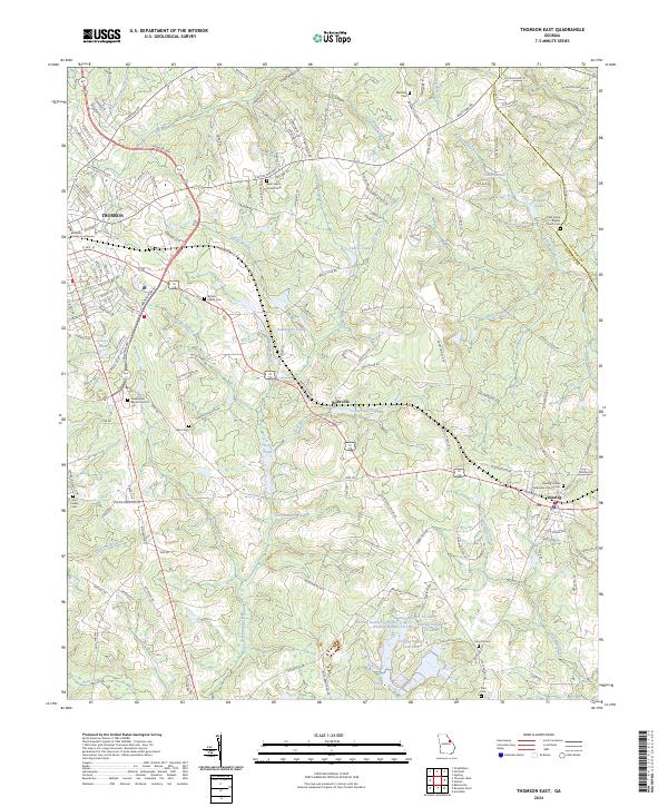
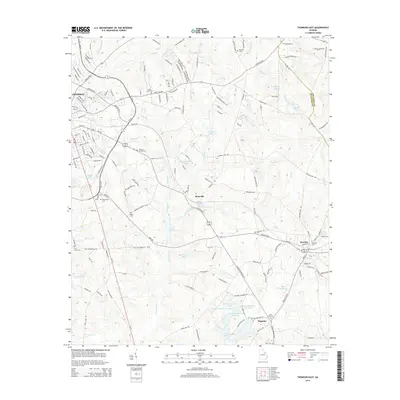
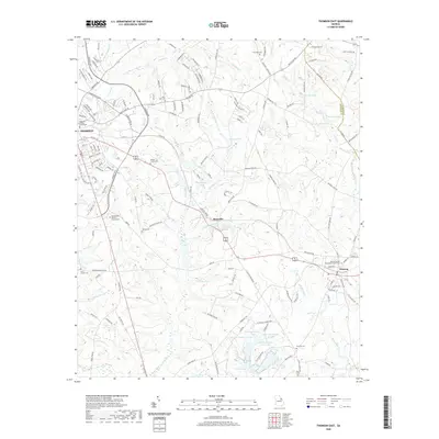
2024 Thomson East
McDuffie County, GA
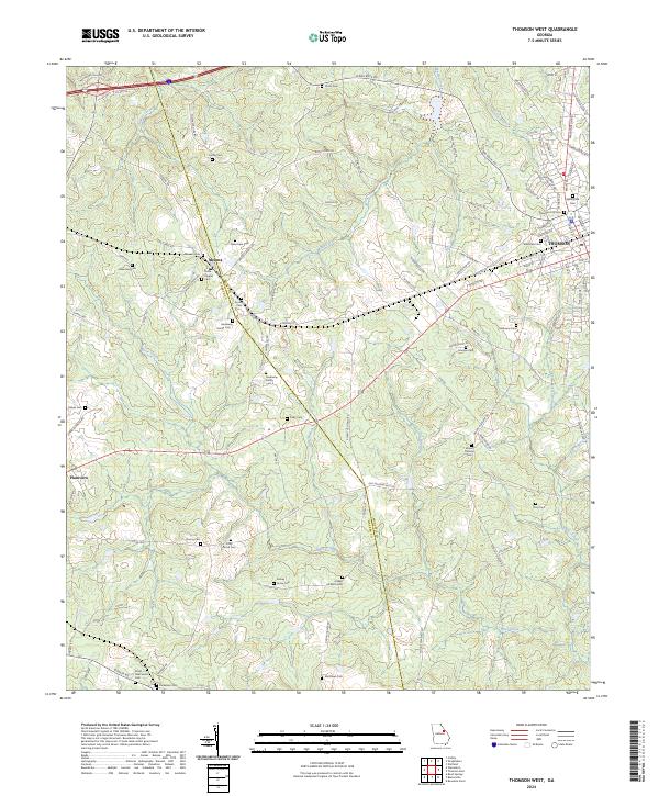
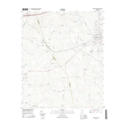
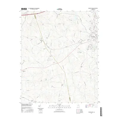
2024 Thomson West
McDuffie County, GA
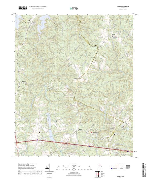
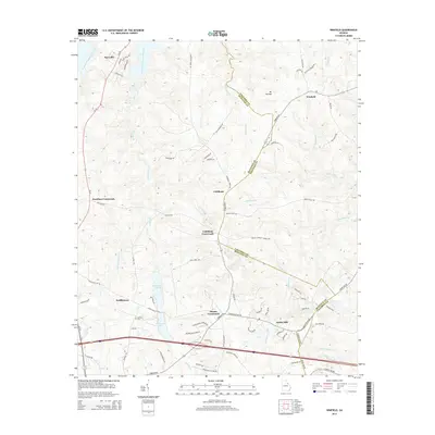
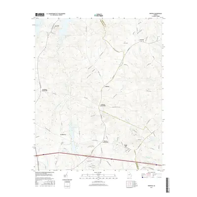
2024 Winfield
McDuffie County, GA
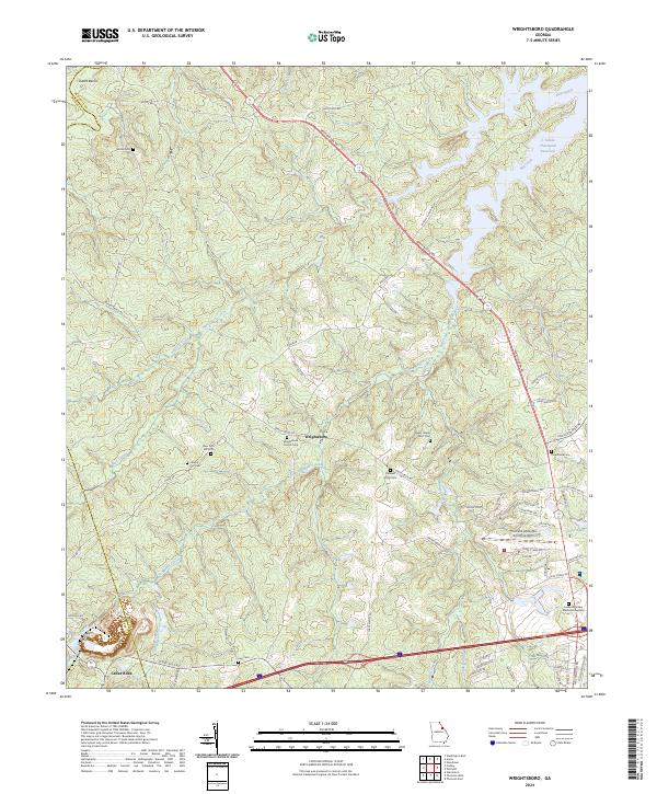
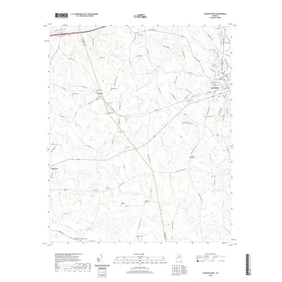
2024 Wrightsboro
McDuffie County, GA