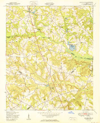
1950 Map of Bowdens Pond
USGS Topo · Published 1950About this map
Brier Creek and its many tributaries, including Little Brier Creek and Port Creek, anchor this rural Georgia landscape at the convergence of McDuffie, Warren, Glascock, and Jefferson counties. The 1950 topography reveals a society organized around small country churches and rural schools, such as the combined Poplar Head Church and School and the Purvis School. Significant water features like Bowdens Pond and Bradshaw Lake are central landmarks, with boat houses and rapids indicated on the map.
Find a feature on this map
43 named features on this map. Tap any name to fly to it.
Don’t see what you’re looking for? This feature index may not catch every label — zoom into the map to look around manually.
Map Details
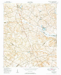
Editions of this 1950 Bowdens Pond Map
2 editions found
Other maps of this area

1920 · Stapleton
USGS Topo · 1:62,500

1922 · Harlem
USGS Topo · 1:62,500

1948 · Harlem
USGS Topo · 1:62,500

1948 · Stapleton
USGS Topo · 1:62,500

1948 · Harlem
USGS Topo · 1:24,000

1948 · Thomson East
USGS Topo · 1:24,000

1950 · Dearing
USGS Topo · 1:24,000

1950 · Wrens
USGS Topo · 1:24,000
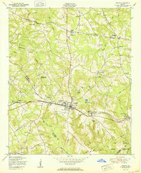
1950 · Harlem
USGS Topo · 1:24,000

1950 · Matthews
USGS Topo · 1:24,000