2024 Map of Bowen
USGS Topo · Published 2024About this map
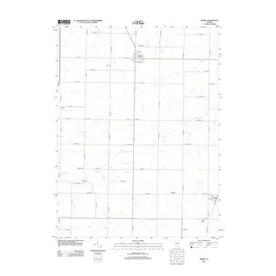
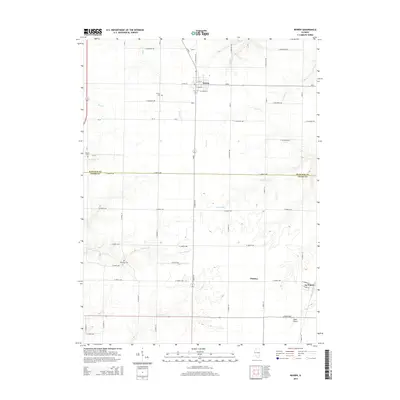
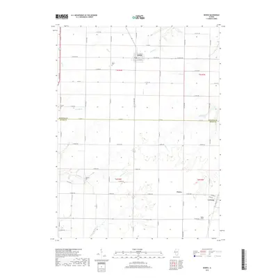
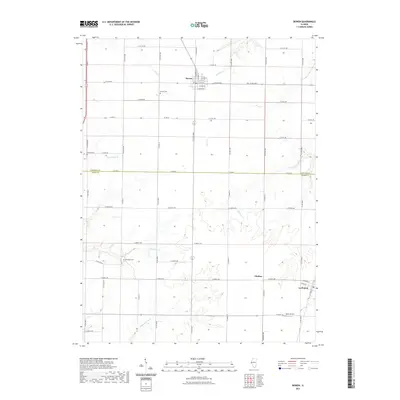
Bowen serves as the primary hub in this agricultural landscape where the borders of Hancock Co and Adams Co meet. The terrain is defined by a dense network of drainage systems, including Panther Creek, Williams Creek, and Bigneck Creek, which carve through the till plains. These watercourses influenced the placement of early infrastructure and small rural clusters like Chatton and La Prairie. Genealogists will find several well-preserved burial grounds across the countryside, such as Bowen Cem, Forsyth Cem, and Ebenezer Cem. The transition from the traditional grid of rural routes like N Co RD 2100 to more modern infrastructure is evidenced by the presence of Baker Airport in the southeastern corner. This modern survey reflects the enduring character of these Western Illinois townships, where the township and range survey lines still dictate the movement of local traffic and the boundaries of large-scale farming operations.
Find a feature on this map
54 named features on this map. Tap any name to fly to it.
Don’t see what you’re looking for? This feature index may not catch every label — zoom into the map to look around manually.
Map Details
Editions of this 2024 Bowen Map
This is the sole edition of this map. No revisions or reprints were ever made.
Historical Maps of Bowen Through Time
6 maps found