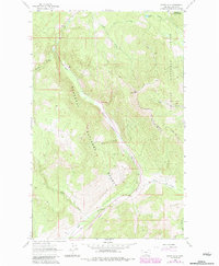
1963 Map of Bowen Lake
USGS Topo · Published 1984About this map
Kootenai National Forest dominates this mountain landscape in Lincoln County, defined by the sharp topographical rise toward Elk Mountain and the Elk Mountain Divide. The terrain is characterized by a network of drainage systems, including Gray Creek and Wolf Creek, which flow through steep-walled valleys. Human presence is marked primarily by infrastructure for transit and extraction rather than settlement, highlighted by the Burlington Northern railroad line that snakes along the valley floor and disappears into a Tunnel Entrance near the center of the quadrangle.
Find a feature on this map
23 named features on this map. Tap any name to fly to it.
Don’t see what you’re looking for? This feature index may not catch every label — zoom into the map to look around manually.
Map Details
Editions of this 1963 Bowen Lake Map
2 editions found
Other maps of this area

1913 · Stryker
USGS Topo · 1:125,000

1916 · Stryker
USGS Topo · 1:125,000

1920 · Jennings
USGS Topo · 1:125,000

1935 · Thompson Lakes
USGS Topo · 1:96,000

1942 · Thompson Lakes
USGS Topo · 1:125,000

1957 · Kalispell
USGS Topo · 1:250,000

1960 · Kalispell
USGS Topo · 1:250,000

1961 · Kalispell
USGS Topo · 1:250,000

1963 · Wolf Prairie
USGS Topo · 1:24,000

1963 · Davis Mountain
USGS Topo · 1:24,000