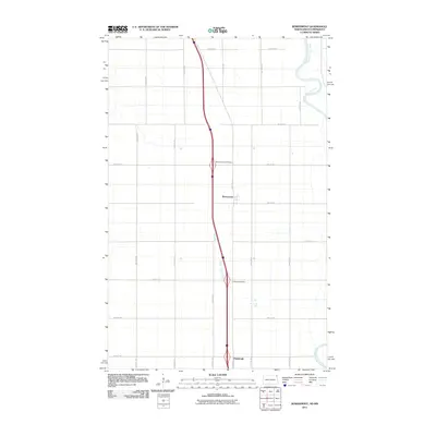
2011 Map of Bowesmont
USGS Topo · Published 2011About this map
Red River of the North forms the eastern boundary of this landscape, its winding course contrasting with the rigid section-line grid that defines Pembina County. The small settlement of Bowesmont sits at the heart of this agricultural region, situated just east of the modern Interstate corridor and its associated Bowesmont Interchange. To the south, the community of Pittsburgh marks another point of settlement along the north-south transit spine, which includes the historical route of Old Hwy 44. The map illustrates a highly organized prairie landscape where transportation infrastructure like the Lincoln Interchange facilitates movement across a terrain otherwise dominated by expansive fields and a network of numbered avenues, including 160th Ave NE.
Find a feature on this map
20 named features on this map. Tap any name to fly to it.
Don’t see what you’re looking for? This feature index may not catch every label — zoom into the map to look around manually.
Map Details
Editions of this 2011 Bowesmont Map
This is the sole edition of this map. No revisions or reprints were ever made.
Other maps of this area

1939 · Drayton
USGS Topo · 1:62,500

1939 · Glasston
USGS Topo · 1:62,500

1939 · Pembina
USGS Topo · 1:62,500

1941 · Drayton
USGS Topo · 1:62,500

1941 · Glasston
USGS Topo · 1:62,500

1941 · Bathgate
USGS Topo · 1:62,500

1941 · Pembina
USGS Topo · 1:62,500

1952 · Thief River Falls
USGS Topo · 1:250,000

1956 · Thief River Falls
USGS Topo · 1:250,000

1957 · Thief River Falls
USGS Topo · 1:250,000