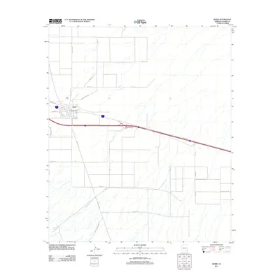
2011 Map of Bowie
USGS Topo · Published 2011About this map
Bowie serves as the central hub of this High Desert landscape, situated along a prominent transportation corridor where local streets like 1st St and Anderson St meet the primary highway network. The settlement's infrastructure is anchored by the Bowie Post Office and nearby Desert Rest, while the East Bowie Interchange facilitates regional movement across the valley floor. To the south, the terrain becomes more defined as the drainage of Happy Camp Wash flows from Happy Camp Canyon, carving a natural path through the arid environment.
Find a feature on this map
27 named features on this map. Tap any name to fly to it.
Don’t see what you’re looking for? This feature index may not catch every label — zoom into the map to look around manually.
Map Details
Editions of this 2011 Bowie Map
This is the sole edition of this map. No revisions or reprints were ever made.
Other maps of this area

1917 · San Simon
USGS Topo · 1:125,000

1922 · Willcox
USGS Topo · 1:125,000

1926 · Cochise Head
USGS Topo · 1:62,500

1928 · Bowie
USGS Topo · 1:62,500

1943 · Dos Cabezas
USGS Topo · 1:62,500

1944 · Fisher Hills
USGS Topo · 1:62,500

1949 · Bowie
USGS Topo · 1:62,500

1950 · Bowie
USGS Topo · 1:62,500

1950 · Cochise Head
USGS Topo · 1:62,500

1954 · Silver City
USGS Topo · 1:250,000