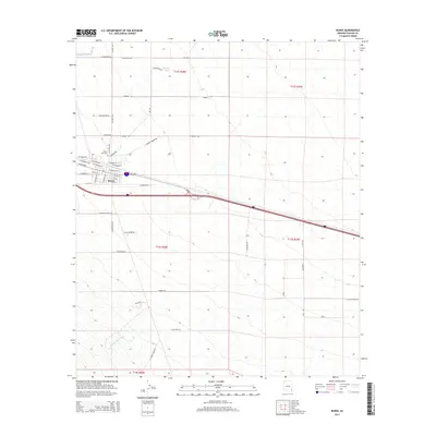
2014 Map of Bowie
USGS Topo · Published 2014About this map
Bowie serves as a primary desert settlement in this corner of Cochise County, centered at a crossroads of rail and road infrastructure. The street grid of the town is remarkably dense for the arid environment, featuring residential and commercial thoroughfares like W Bus Loop, W Lawrence Ave, and E Arizona St. Just north of the town center, the Desert Rest Cem provides a focal point for genealogical interest.
Find a feature on this map
55 named features on this map. Tap any name to fly to it.
Don’t see what you’re looking for? This feature index may not catch every label — zoom into the map to look around manually.
Map Details
Editions of this 2014 Bowie Map
This is the sole edition of this map. No revisions or reprints were ever made.
Other maps of this area
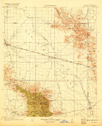
1917 · San Simon
USGS Topo · 1:125,000
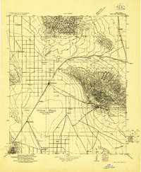
1922 · Willcox
USGS Topo · 1:125,000
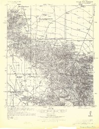
1926 · Cochise Head
USGS Topo · 1:62,500
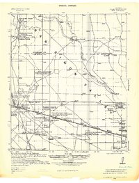
1928 · Bowie
USGS Topo · 1:62,500
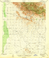
1943 · Dos Cabezas
USGS Topo · 1:62,500
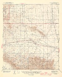
1944 · Fisher Hills
USGS Topo · 1:62,500
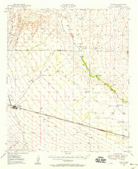
1949 · Bowie
USGS Topo · 1:62,500
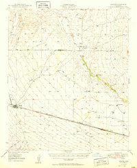
1950 · Bowie
USGS Topo · 1:62,500
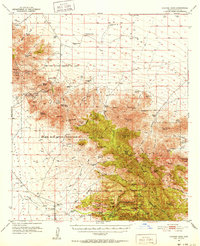
1950 · Cochise Head
USGS Topo · 1:62,500

1954 · Silver City
USGS Topo · 1:250,000