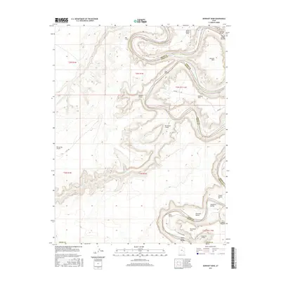
2017 Map of Bowknot Bend
USGS Topo · Published 2017About this map
The Green River carves a massive, symmetrical oxbow at Bowknot Bend, a defining geological landmark along the boundary of Grand and Emery Counties. This 2017 survey details the complex system of riparian flats and high desert plateaus that characterize Labyrinth Canyon. Wide river bottoms such as Horsethief Bottom, Woodruff Bottom, and Tidwell Bottom appear as distinct lowlands beneath the sheer cliffs of Deadman Point and Spring Canyon Point. The landscape is etched by deep drainages like Twomile Canyon and Keg Spring Canyon, which funnel into the river corridor from the high plateaus to the west. Navigation through this wilderness is recorded along the White Rim Road in the south and the historic Horse Thief Trl, illustrating the traditional routes used to access the river from the canyon rims. The presence of Keg Spring and Barrier Cr highlights the sparse but critical water sources that dictated movement through this arid canyon country.
Find a feature on this map
32 named features on this map. Tap any name to fly to it.
Don’t see what you’re looking for? This feature index may not catch every label — zoom into the map to look around manually.
Map Details
Editions of this 2017 Bowknot Bend Map
This is the sole edition of this map. No revisions or reprints were ever made.
Other maps of this area

1885 · San Rafael
USGS Topo · 1:250,000
1885 · La Sal
USGS Topo · 1:250,000
1951 · The Knoll
USGS Topo · 1:62,500
1951 · Upheaval Dome
USGS Topo · 1:62,500
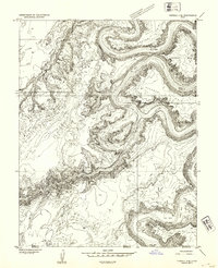
1952 · Tidwell 4 SE
USGS Topo · 1:24,000
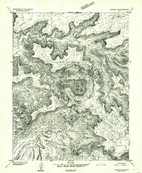
1952 · Carlisle 2 NW
USGS Topo · 1:24,000
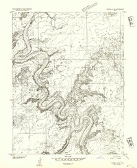
1952 · Tidwell 4 NE
USGS Topo · 1:24,000
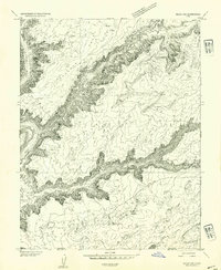
1952 · Moab 3 SW
USGS Topo · 1:24,000
1952 · Moab 3 NW
USGS Topo · 1:24,000
1953 · Orange Cliffs 1 NE
USGS Topo · 1:24,000