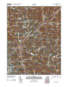
2010 Map of Bowling Green
USGS Topo · Published 2010About this map
Bowling Green serves as the central hub of this 2010 topographic record, illustrating the intersection of modern transportation routes with the deep-rooted rural geography of Caroline County. The landscape is defined by the extensive grounds of Fort A P Hill, which occupies much of the northern and eastern territory, influencing the local road network with restricted paths like North Range Rd and South Range Rd. Outside the military boundary, family-named landmarks and small settlements such as Baylortown, Loving Fork, and Wrightsville reveal a pattern of generational land tenure.
Find a feature on this map
84 named features on this map. Tap any name to fly to it.
Don’t see what you’re looking for? This feature index may not catch every label — zoom into the map to look around manually.
Map Details
Editions of this 2010 Bowling Green Map
This is the sole edition of this map. No revisions or reprints were ever made.
Other maps of this area

1889 · Fredericksburg
USGS Topo · 1:125,000

1892 · Fredericksburg
USGS Topo · 1:125,000

1894 · Fredericksburg
USGS Topo · 1:125,000

1918 · Doswell
USGS Topo · 1:62,500

1918 · Aylett
USGS Topo · 1:62,500

1933 · Aylett
USGS Topo · 1:62,500

1942 · Bowling Green
USGS Topo · 1:31,680

1942 · Upper Zion
USGS Topo · 1:31,680

1942 · Woodford
USGS Topo · 1:31,680

1942 · Guinea
USGS Topo · 1:31,680