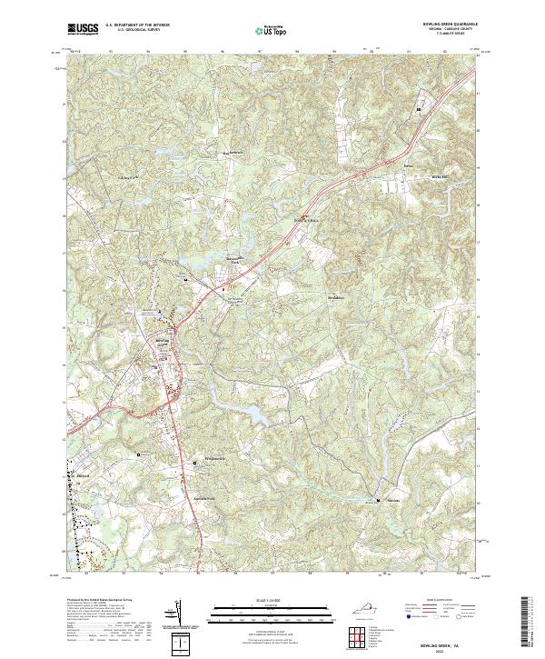
2022 Map of Bowling Green
USGS Topo · Published 2022About this map
The Bowling Green area of Caroline County exhibits a landscape where historic civic centers meet modern military infrastructure. The Caroline County Courthouse remains the focal point of the town, surrounded by local settlements like Wrightsville and Milford. This 2022 survey illustrates the significant presence of the AP Hill Army Airfield, which occupies a large portion of the central and eastern terrain.
Find a feature on this map
82 named features on this map. Tap any name to fly to it.
Don’t see what you’re looking for? This feature index may not catch every label — zoom into the map to look around manually.
Map Details
Editions of this 2022 Bowling Green Map
This is the sole edition of this map. No revisions or reprints were ever made.
Other maps of this area

1889 · Fredericksburg
USGS Topo · 1:125,000

1892 · Fredericksburg
USGS Topo · 1:125,000

1894 · Fredericksburg
USGS Topo · 1:125,000

1918 · Doswell
USGS Topo · 1:62,500

1918 · Aylett
USGS Topo · 1:62,500

1933 · Aylett
USGS Topo · 1:62,500

1942 · Bowling Green
USGS Topo · 1:31,680

1942 · Upper Zion
USGS Topo · 1:31,680

1942 · Woodford
USGS Topo · 1:31,680

1942 · Guinea
USGS Topo · 1:31,680