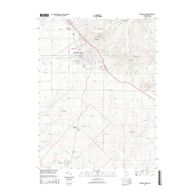
2015 Map of Bowling Green
USGS Topo · Published 2015About this map
Bowling Green serves as the central hub of this Pike County survey, showing the city's residential grid and the Bowling Green Municipal Airport to the northwest. The landscape is defined by the dendritic drainage patterns of the Sulphur Creek system, including W Sulphur Cr, Middle Sulphur Cr, and E Sulphur Cr, which flow through the southern half of the quadrangle. For genealogists, the map preserves the locations of several burial sites, such as Saint Clement Cemetery near the settlement of St. Clement and the Green Lawn Cemetery on the eastern edge of the city.
Find a feature on this map
96 named features on this map. Tap any name to fly to it.
Don’t see what you’re looking for? This feature index may not catch every label — zoom into the map to look around manually.
Map Details
Editions of this 2015 Bowling Green Map
This is the sole edition of this map. No revisions or reprints were ever made.
Other maps of this area
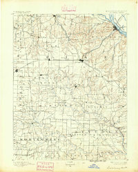
1890 · Louisiana
USGS Topo · 1:125,000
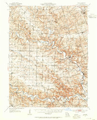
1937 · Silex
USGS Topo · 1:62,500
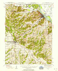
1937 · Bowling Green
USGS Topo · 1:62,500
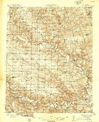
1939 · Silex
USGS Topo · 1:48,000
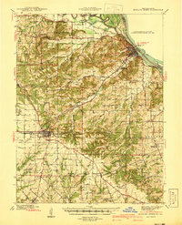
1940 · Bowling Green
USGS Topo · 1:62,500
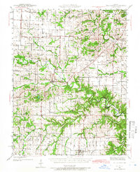
1942 · Bellflower
USGS Topo · 1:62,500
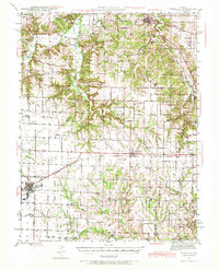
1943 · Vandalia
USGS Topo · 1:62,500
1945 · Bellflower
USGS Topo · 1:62,500
1945 · Vandalia
USGS Topo · 1:62,500
1948 · Quincy
USGS Topo · 1:250,000