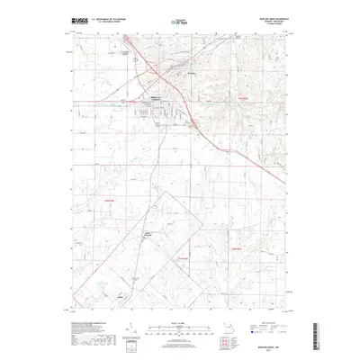
2017 Map of Bowling Green
USGS Topo · Published 2017About this map
Bowling Green serves as the focal point of this Pike County survey, showing the established street grid of the county seat as it appeared in the late 2010s. The landscape is defined by the branching tributaries of the Cuivre River system, including Cuivre Cr, White Oak Fork, and the complex drainage of W Sulphur Cr and Middle Sulphur Cr. This topographic record provides essential detail for genealogists tracking local families, with several burial grounds clearly marked including Saint Clement Cem, Fairview Cem, and Smith Cem. Outside the main town, smaller settlements like Saint Clement and Ashley anchor the southern portion of the sheet, while the Bowling Green Municipal Airport and Bowling Green Reservoir highlight the modern infrastructure supporting this rural Missouri community.
Find a feature on this map
94 named features on this map. Tap any name to fly to it.
Don’t see what you’re looking for? This feature index may not catch every label — zoom into the map to look around manually.
Map Details
Editions of this 2017 Bowling Green Map
This is the sole edition of this map. No revisions or reprints were ever made.
Other maps of this area
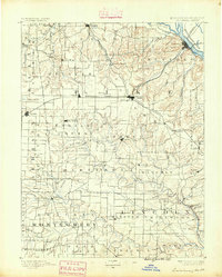
1890 · Louisiana
USGS Topo · 1:125,000
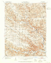
1937 · Silex
USGS Topo · 1:62,500
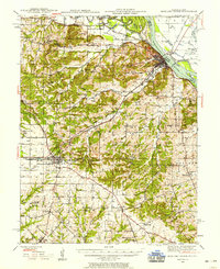
1937 · Bowling Green
USGS Topo · 1:62,500
1939 · Silex
USGS Topo · 1:48,000
1940 · Bowling Green
USGS Topo · 1:62,500
1942 · Bellflower
USGS Topo · 1:62,500
1943 · Vandalia
USGS Topo · 1:62,500
1945 · Bellflower
USGS Topo · 1:62,500
1945 · Vandalia
USGS Topo · 1:62,500
1948 · Quincy
USGS Topo · 1:250,000