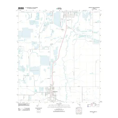
2012 Map of Bowling Green
USGS Topo · Published 2012About this map
Bowling Green anchors the southern portion of this landscape, where a dense grid of streets like Central Ave and Church Ave meets the meandering path of the Peace River. The surrounding terrain is defined by its complex hydrology, with numerous named waterways including Bowlegs Cr and Little Payne Cr threading between large pits and basins that suggest a history of phosphate mining. Near the northern edge, Rockland Junction sits as a notable waypoint for researchers of regional transport and industry. Genealogical interest is centered on the New Hope Cem and Fort Meade Cem, while the singular height of Sand Mountain stands out against the low-lying wetlands. This survey provides a clear look at the area's rural road network, from Dixie Blvd to the more remote stretches of Coline Rd, capturing the geography of Central Florida just before the mid-2010s.
Find a feature on this map
80 named features on this map. Tap any name to fly to it.
Don’t see what you’re looking for? This feature index may not catch every label — zoom into the map to look around manually.
Map Details
Editions of this 2012 Bowling Green Map
This is the sole edition of this map. No revisions or reprints were ever made.
Other maps of this area

1949 · Bradley Junction
USGS Topo · 1:24,000

1950 · Bradley Junction
USGS Topo · 1:24,000

1952 · Homeland
USGS Topo · 1:24,000

1955 · Ft. Green
USGS Topo · 1:24,000

1955 · Bowling Green
USGS Topo · 1:24,000

1955 · Wauchula
USGS Topo · 1:24,000

1955 · Baird
USGS Topo · 1:24,000

1955 · Alturas
USGS Topo · 1:24,000

1956 · Bereah
USGS Topo · 1:24,000

1956 · Griffins Corner
USGS Topo · 1:24,000