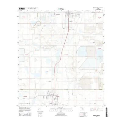
2015 Map of Bowling Green
USGS Topo · Published 2015About this map
Fort Meade and Bowling Green anchor this 2015 study of the Central Florida landscape, where the Peace River carves a path through the heart of the phosphate mining district. The terrain is defined by the heavy industrial footprint of open-pit mining operations, visible in the massive settling ponds and reclaimed land surrounding Sand Mtn. Family and local history is preserved at the Fort Meade Cem, New Hope Cem, and Pleasant Grove Cem, which stand as quiet landmarks amid the shifting topography of the mines. The drainage network, including Bowlegs Cr and Whidden Cr, illustrates the complex hydrology of the region as it transitions from the settled streets of southern Polk County into the agricultural and mining tracts of Hardee County.
Find a feature on this map
82 named features on this map. Tap any name to fly to it.
Don’t see what you’re looking for? This feature index may not catch every label — zoom into the map to look around manually.
Map Details
Editions of this 2015 Bowling Green Map
This is the sole edition of this map. No revisions or reprints were ever made.
Other maps of this area
1949 · Bradley Junction
USGS Topo · 1:24,000
1950 · Bradley Junction
USGS Topo · 1:24,000
1952 · Homeland
USGS Topo · 1:24,000
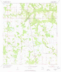
1955 · Ft. Green
USGS Topo · 1:24,000
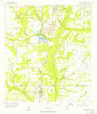
1955 · Bowling Green
USGS Topo · 1:24,000
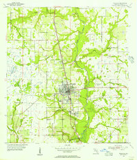
1955 · Wauchula
USGS Topo · 1:24,000
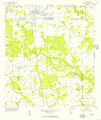
1955 · Baird
USGS Topo · 1:24,000
1955 · Alturas
USGS Topo · 1:24,000
1956 · Bereah
USGS Topo · 1:24,000
1956 · Griffins Corner
USGS Topo · 1:24,000