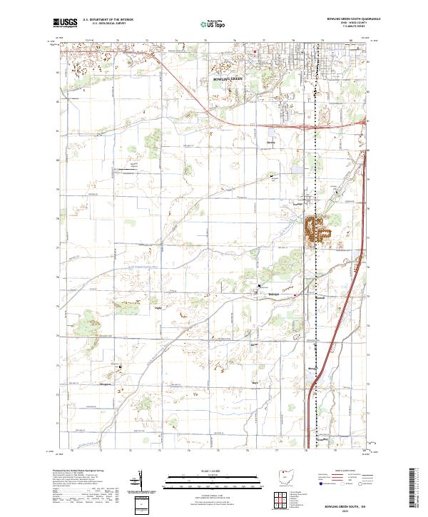
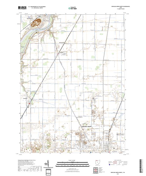
2023 Map of Bowling Green South
USGS Topo · Published 2023About this map
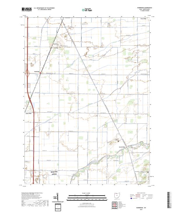
The southern outskirts of Bowling Green transition into a landscape of drainage and agriculture south of University Pond. This survey illustrates the intricate water network of Wood County, where the North Branch Portage River and Middle Branch Portage River cut through the township grid alongside smaller watercourses like Rocky Ford and Needles Creek. The map documents numerous small rural crossroads that remain distinct in the local geography, including Christy, Rudolph, and Mermill.
Find a feature on this map
86 named features on this map. Tap any name to fly to it.
Don’t see what you’re looking for? This feature index may not catch every label — zoom into the map to look around manually.
Map Details
Editions of this 2023 Bowling Green South Map
This is the sole edition of this map. No revisions or reprints were ever made.
Historical Maps of Ducat Through Time
9 maps found
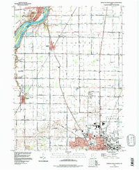
1958 Bowling Green North
Wood County, OH
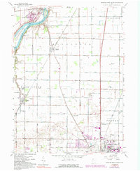
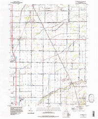
1958 Bowling Green South
Wood County, OH
1958 Dunbridge
Wood County, OH
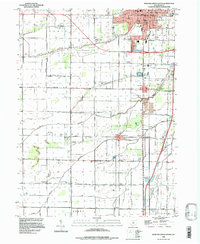
1994 Bowling Green North
Wood County, OH
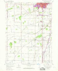
1994 Bowling Green South
Wood County, OH
1994 Dunbridge
Wood County, OH
2023 Bowling Green North
Wood County, OH
2023 Bowling Green South
Wood County, OH
2023 Dunbridge
Wood County, OH