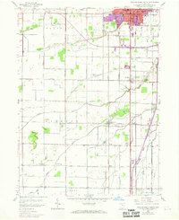
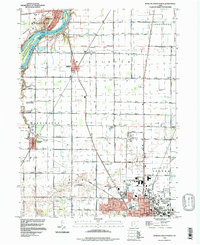
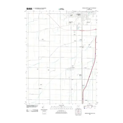
1958 Map of Bowling Green South
USGS Topo · Published 1968About this map
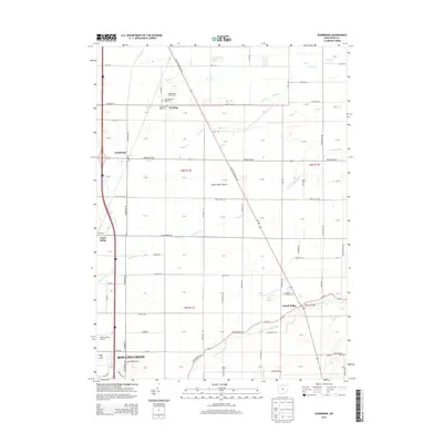
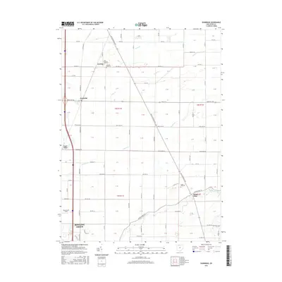
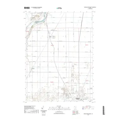
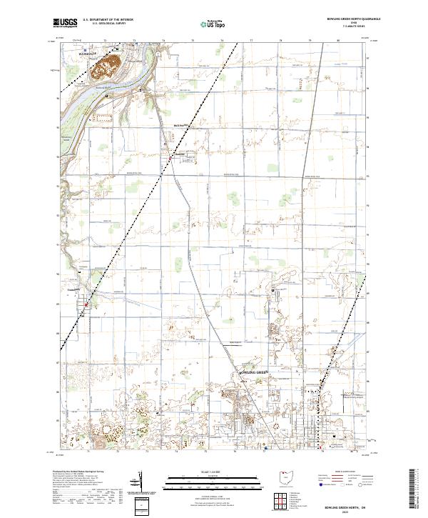
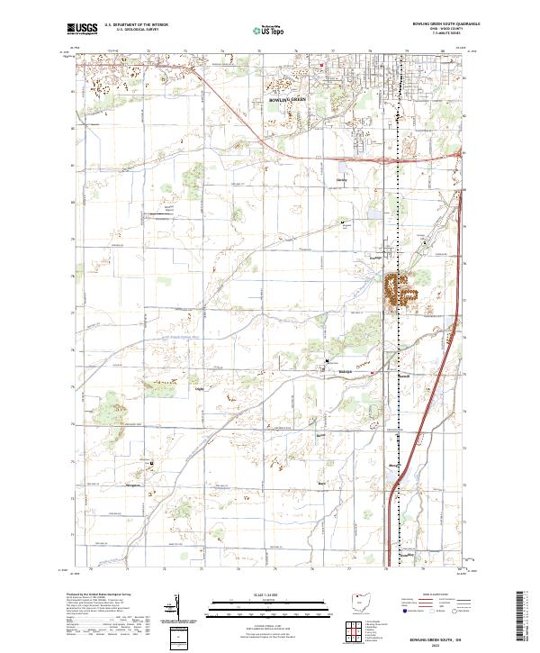
Bowling Green and its surrounding agricultural plains are captured during a period of transition in the late 1950s, with urban expansion recorded through 1968 aerial revisions. This area of Wood County is defined by its rectilinear grid of country roads, including Sand Ridge Road and Jerry City Road, which connect a network of small settlements like Rudolph, Mermill, and Portage. These rural communities are anchored by local institutions such as Mt Zion Ch and schools like Westwood High Sch, providing a clear view of the social geography before modern consolidation.
Find a feature on this map
52 named features on this map. Tap any name to fly to it.
Don’t see what you’re looking for? This feature index may not catch every label — zoom into the map to look around manually.
Map Details
Editions of this 1958 Bowling Green South Map
2 editions found
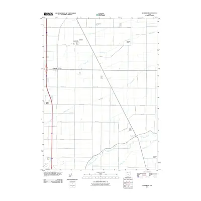
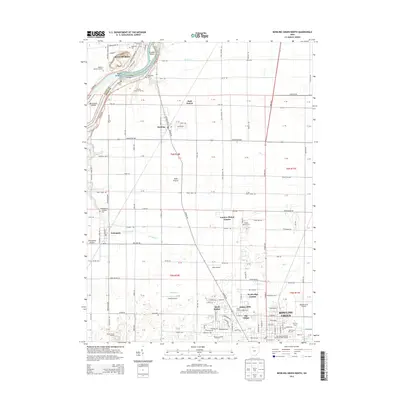
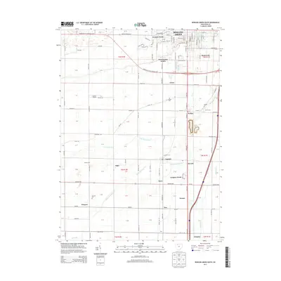
Historical Maps of Bowling Green Through Time
21 maps found
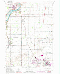
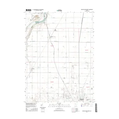
1958 Bowling Green North
Wood County, OH
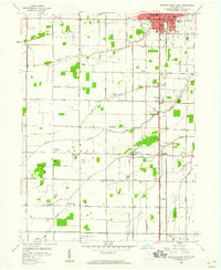
1958 Bowling Green South
Wood County, OH
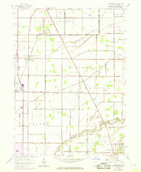
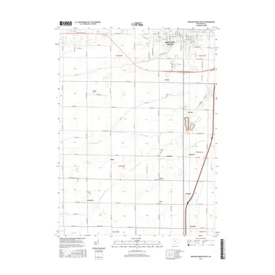
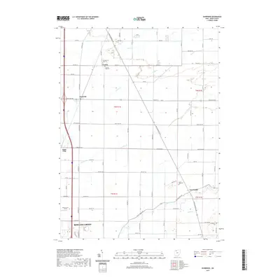
1958 Dunbridge
Wood County, OH
1994 Bowling Green North
Wood County, OH
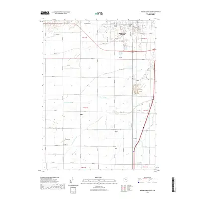
1994 Bowling Green South
Wood County, OH
1994 Dunbridge
Wood County, OH
2010 Bowling Green North
Wood County, OH
2010 Bowling Green South
Wood County, OH
2010 Dunbridge
Wood County, OH
2013 Bowling Green North
Wood County, OH
2013 Bowling Green South
Wood County, OH
2013 Dunbridge
Wood County, OH
2016 Bowling Green North
Wood County, OH
2016 Bowling Green South
Wood County, OH
2016 Dunbridge
Wood County, OH
2019 Bowling Green North
Wood County, OH
2019 Bowling Green South
Wood County, OH
2019 Dunbridge
Wood County, OH
2023 Bowling Green North
Wood County, OH
2023 Bowling Green South
Wood County, OH
2023 Dunbridge
Wood County, OH