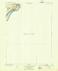
1952 Map of Tontogany
USGS Topo · Published 1953About this map
Waterville sits at a strategic bend of the Maumee River, where the landscape is defined by the river’s wide channel and several prominent islands. This 1950s revision shows the settlement's relationship to the water and the major transportation arteries that shaped its growth. The New York Chicago and St Louis railroad cuts through the western edge of the community, while the Napoleon Road and Toledo Road provided critical overland connections.
Find a feature on this map
12 named features on this map. Tap any name to fly to it.
Don’t see what you’re looking for? This feature index may not catch every label — zoom into the map to look around manually.
Map Details
Editions of this 1952 Tontogany Map
This is the sole edition of this map. No revisions or reprints were ever made.
Other maps of this area

1900 · Toledo
USGS Topo · 1:62,500

1901 · Bowling Green
USGS Topo · 1:62,500

1903 · Bowling Green
USGS Topo · 1:62,500

1909 · Mc Clure
USGS Topo · 1:62,500

1911 · Swanton
USGS Topo · 1:62,500

1914 · Swanton
USGS Topo · 1:62,500

1934 · Rossford
USGS Topo · 1:24,000

1935 · Grand Rapids
USGS Topo · 1:24,000

1935 · Whitehouse
USGS Topo · 1:24,000

1935 · Maumee
USGS Topo · 1:24,000