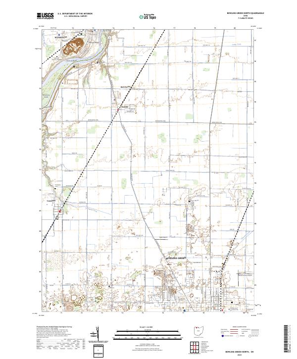
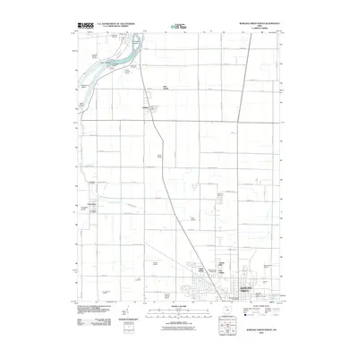
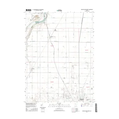
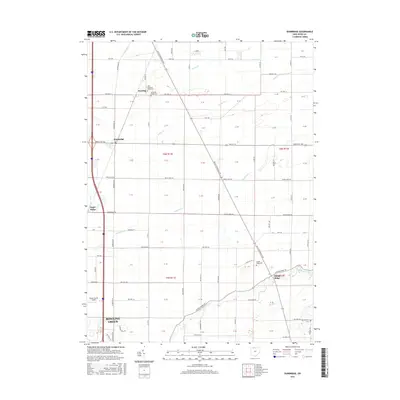
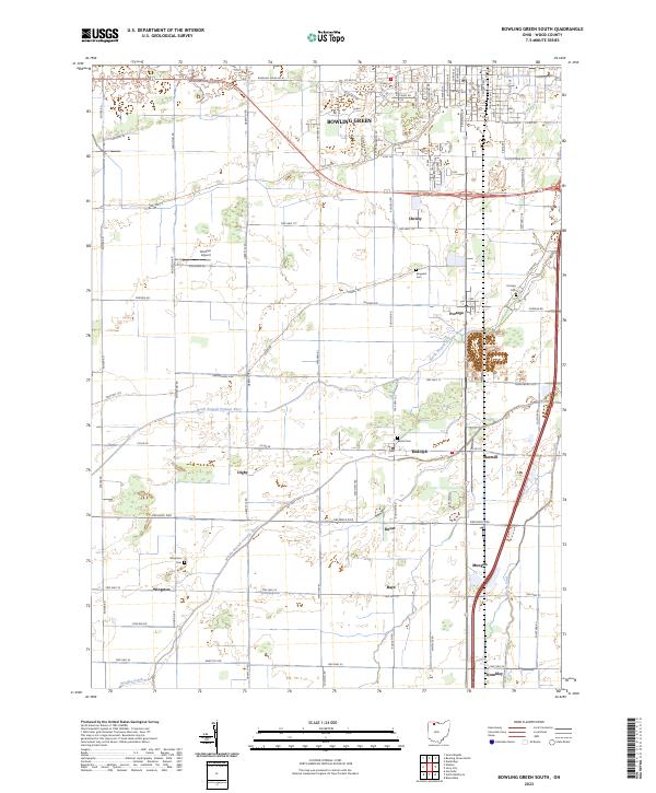
2023 Map of Bowling Green North
USGS Topo · Published 2023About this map
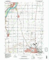
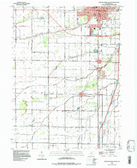
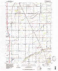
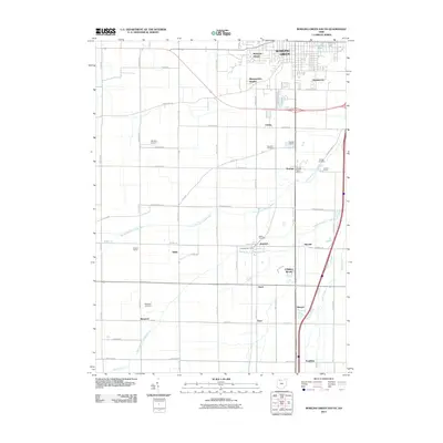
The Maumee River defines the northwest corner of this Wood County landscape, carving past a series of named landforms including Granger Island, Missionary Island, and the rocky Roche de Boeuf. The river serves as a natural boundary between Lucas and Wood counties, where the village of Waterville sits across from the historic site of the Miltonville Cemetery. To the south, the city of Bowling Green dominates the lower half of the sheet, anchored by the Bowling Green State University campus and the Wood County Courthouse.
Find a feature on this map
107 named features on this map. Tap any name to fly to it.
Don’t see what you’re looking for? This feature index may not catch every label — zoom into the map to look around manually.
Map Details
Editions of this 2023 Bowling Green North Map
This is the sole edition of this map. No revisions or reprints were ever made.
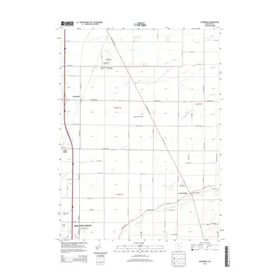
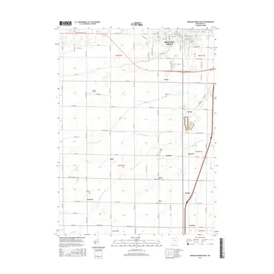
Historical Maps of Bowling Green Through Time
21 maps found
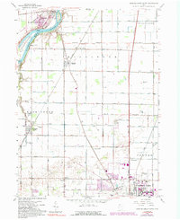
1958 Bowling Green North
Wood County, OH
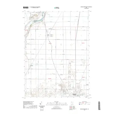
1958 Bowling Green South
Wood County, OH
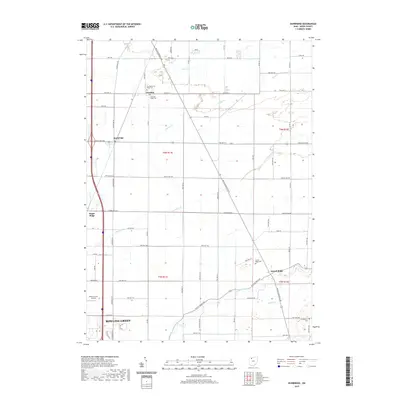
1958 Dunbridge
Wood County, OH
1994 Bowling Green North
Wood County, OH
1994 Bowling Green South
Wood County, OH
1994 Dunbridge
Wood County, OH
2010 Bowling Green North
Wood County, OH
2010 Bowling Green South
Wood County, OH
2010 Dunbridge
Wood County, OH
2013 Bowling Green North
Wood County, OH
2013 Bowling Green South
Wood County, OH
2013 Dunbridge
Wood County, OH
2016 Bowling Green North
Wood County, OH
2016 Bowling Green South
Wood County, OH
2016 Dunbridge
Wood County, OH
2019 Bowling Green North
Wood County, OH
2019 Bowling Green South
Wood County, OH
2019 Dunbridge
Wood County, OH
2023 Bowling Green North
Wood County, OH
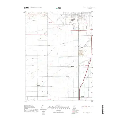
2023 Bowling Green South
Wood County, OH
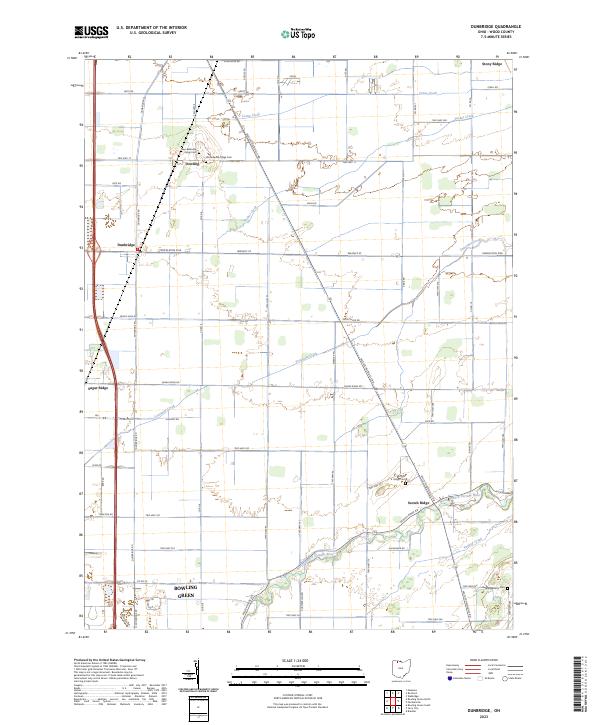
2023 Dunbridge
Wood County, OH