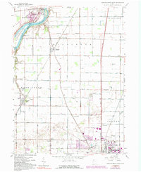
1958 Map of Bowling Green North
USGS Topo · Published 1992About this map
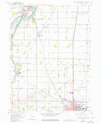
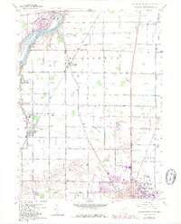
Bowling Green and the surrounding agricultural landscape of Wood County are captured here during a period of mid-century growth and infrastructure revision. The northern reach of the city is anchored by the Bowling Green State University campus, while the broader terrain is defined by a dense grid of section roads and several key rail corridors, including the Baltimore and Ohio and Penn Central. The Maumee River cuts across the northwestern corner, featuring distinctive landmarks like Roche de Boeuf and Missionary Island near Waterville. Rural life is evidenced by numerous landmarks such as Plain Ch, Tontogany Cem, and the Otsego Sch. Later updates, marked in purple, illustrate the expansion of the Wood County Airport and the evolving suburban footprint near the Anthony Wayne Trail and Dixie Highway.
Find a feature on this map
45 named features on this map. Tap any name to fly to it.
Don’t see what you’re looking for? This feature index may not catch every label — zoom into the map to look around manually.
Map Details
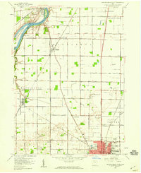
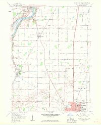
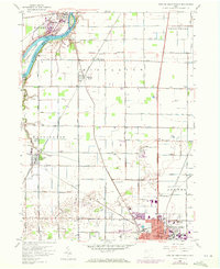
Editions of this 1958 Bowling Green North Map
6 editions found
Other maps of this area

1900 · Toledo
USGS Topo · 1:62,500

1901 · Bowling Green
USGS Topo · 1:62,500

1903 · Bowling Green
USGS Topo · 1:62,500

1909 · Mc Clure
USGS Topo · 1:62,500

1911 · Swanton
USGS Topo · 1:62,500

1914 · Swanton
USGS Topo · 1:62,500

1934 · Rossford
USGS Topo · 1:24,000

1935 · Grand Rapids
USGS Topo · 1:24,000

1935 · Whitehouse
USGS Topo · 1:24,000

1935 · Maumee
USGS Topo · 1:24,000