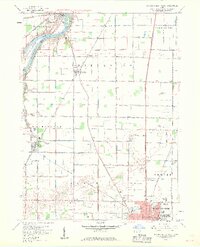
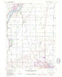
1958 Map of Bowling Green North
USGS Topo · Published 1960About this map
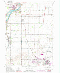
Bowling Green anchors the southeastern corner of this late 1950s landscape, featuring the growing campus of Bowling Green State University and the Oak Grove Cemetery. The map captures a transition from the urban grid of the county seat to the productive agricultural lands of Middleton, Washington, and Plain townships. To the northwest, the Maumee River serves as a natural boundary, winding past Granger Island and Missionary Island near the village of Waterville. This river corridor is home to Farnsworth Park and the distinctive Roche de Boeuf landmark.
Find a feature on this map
82 named features on this map. Tap any name to fly to it.
Don’t see what you’re looking for? This feature index may not catch every label — zoom into the map to look around manually.
Map Details
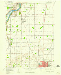
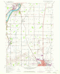
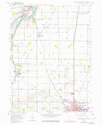
Editions of this 1958 Bowling Green North Map
6 editions found
Other maps of this area

1900 · Toledo
USGS Topo · 1:62,500

1901 · Bowling Green
USGS Topo · 1:62,500

1903 · Bowling Green
USGS Topo · 1:62,500

1909 · Mc Clure
USGS Topo · 1:62,500

1911 · Swanton
USGS Topo · 1:62,500

1914 · Swanton
USGS Topo · 1:62,500

1934 · Rossford
USGS Topo · 1:24,000

1935 · Grand Rapids
USGS Topo · 1:24,000

1935 · Whitehouse
USGS Topo · 1:24,000

1935 · Maumee
USGS Topo · 1:24,000