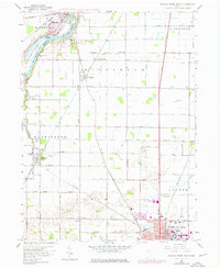
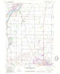
1958 Map of Bowling Green North
USGS Topo · Published 1976About this map
MaumEE River currents shape the northwest corner of this Wood County landscape, where Granger Island and Missionary Island sit mid-stream near the settlement of Waterville. The interior reflects the orderly grid of the Twelvemile Square Congress Lands Reservation, a region defined by agricultural utility and early rail transport. The Baltimore and Ohio and Norfolk and Western railroads bisect the territory, connecting small hubs like Haskins and Tontogany.
Find a feature on this map
74 named features on this map. Tap any name to fly to it.
Don’t see what you’re looking for? This feature index may not catch every label — zoom into the map to look around manually.
Map Details
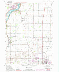
Editions of this 1958 Bowling Green North Map
6 editions found
Other maps of this area

1900 · Toledo
USGS Topo · 1:62,500

1901 · Bowling Green
USGS Topo · 1:62,500

1903 · Bowling Green
USGS Topo · 1:62,500

1909 · Mc Clure
USGS Topo · 1:62,500

1911 · Swanton
USGS Topo · 1:62,500

1914 · Swanton
USGS Topo · 1:62,500

1934 · Rossford
USGS Topo · 1:24,000

1935 · Grand Rapids
USGS Topo · 1:24,000

1935 · Whitehouse
USGS Topo · 1:24,000

1935 · Maumee
USGS Topo · 1:24,000