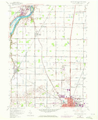
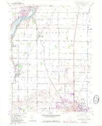
1958 Map of Bowling Green North
USGS Topo · Published 1972About this map
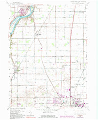
Bowling Green dominates the southern landscape of this survey, where the expanding campus of Bowling Green State University and residential growth near City Park appear alongside 1971 photorevisions. To the north, the Maumee River carves through the terrain, holding Missionary Island and Granger Island near the settlement of Waterville. This river corridor is anchored by the historic Roche de Boeuf landmark and industrial sites like the local Filtration Plant.
Find a feature on this map
79 named features on this map. Tap any name to fly to it.
Don’t see what you’re looking for? This feature index may not catch every label — zoom into the map to look around manually.
Map Details
Editions of this 1958 Bowling Green North Map
6 editions found
Other maps of this area

1900 · Toledo
USGS Topo · 1:62,500

1901 · Bowling Green
USGS Topo · 1:62,500

1903 · Bowling Green
USGS Topo · 1:62,500

1909 · Mc Clure
USGS Topo · 1:62,500

1911 · Swanton
USGS Topo · 1:62,500

1914 · Swanton
USGS Topo · 1:62,500

1934 · Rossford
USGS Topo · 1:24,000

1935 · Grand Rapids
USGS Topo · 1:24,000

1935 · Whitehouse
USGS Topo · 1:24,000

1935 · Maumee
USGS Topo · 1:24,000