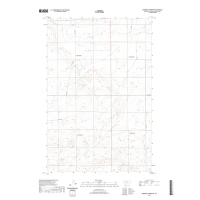
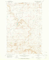
2020 Map of Bowmans Corners NW
USGS Topo · Published 2020About this map
Water management and irrigation infrastructure define this landscape in Lewis and Clark County, where the Bickle Burke Ditch and Bee Ditch cut across the northern terrain. These artificial waterways, alongside the Dry Creek-Krezelok Reservoir, suggest a ranching or agricultural economy reliant on carefully diverted water in a region marked by intermittent drainage. The topographic survey illustrates a series of north-south and east-west corridors, including Dry Creek Rd and Skyline Rd, which navigate the elevation changes between Dry Creek and the headwaters of N Fork Simms Creek. This 2020 map documents the modern footprint of rural Montana, showing how roads like Long Butte Rd follow the natural contours of the land while human-engineered ditches attempt to stabilize the flow of water through the basin.
Find a feature on this map
13 named features on this map. Tap any name to fly to it.
Don’t see what you’re looking for? This feature index may not catch every label — zoom into the map to look around manually.
Map Details
Editions of this 2020 Bowmans Corners NW Map
This is the sole edition of this map. No revisions or reprints were ever made.
Other maps of this area
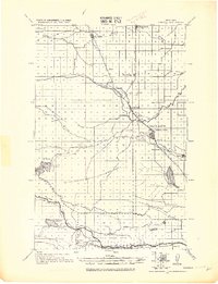
1920 · Choteau
USGS Topo · 1:125,000
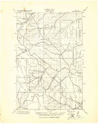
1943 · Hogan
USGS Topo · 1:125,000

1955 · Choteau
USGS Topo · 1:250,000

1957 · Choteau
USGS Topo · 1:250,000
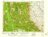
1958 · Choteau
USGS Topo · 1:250,000
1960 · Gilman
USGS Topo · 1:62,500
1960 · Freezeout Lake
USGS Topo · 1:62,500
1962 · Choteau
USGS Topo · 1:250,000
1962 · Bowmans Corners
USGS Topo · 1:24,000
1963 · Bowmans Corners NW
USGS Topo · 1:24,000