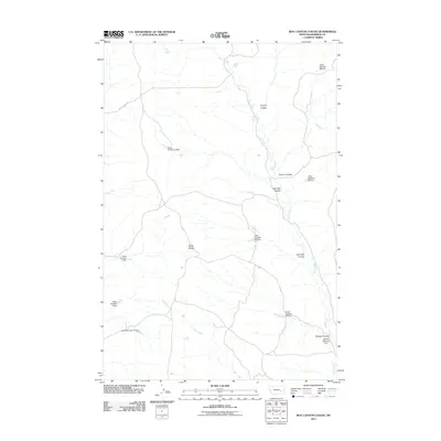
2011 Map of Box Canyon Coulee
USGS Topo · Published 2011About this map
Black Buttes rise above a landscape defined by an intricate network of drainage systems and livestock water infrastructure in Rosebud County. The map reveals a high concentration of small-scale dams and reservoirs, such as Swart Number 5 Dam and the Hook Number 46 Dam, which reflect the area's essential reliance on water management for ranching. These structures are scattered throughout the drainages of Sand Creek and Jack Creek, illustrating how human intervention has modified the natural flow of water through the prairie.
Find a feature on this map
18 named features on this map. Tap any name to fly to it.
Don’t see what you’re looking for? This feature index may not catch every label — zoom into the map to look around manually.
Map Details
Editions of this 2011 Box Canyon Coulee Map
This is the sole edition of this map. No revisions or reprints were ever made.
Other maps of this area

1954 · Forsyth
USGS Topo · 1:250,000

1957 · Forsyth
USGS Topo · 1:250,000

1958 · Forsyth
USGS Topo · 1:250,000
1968 · Orinoco
USGS Topo · 1:24,000
1968 · Rosebud
USGS Topo · 1:24,000
1968 · Box Canyon Coulee
USGS Topo · 1:24,000
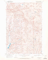
1968 · Sand Buttes
USGS Topo · 1:24,000
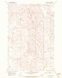
1968 · Schultz Coulee
USGS Topo · 1:24,000
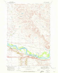
1968 · Thurlow
USGS Topo · 1:24,000
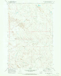
1969 · Wild Horse Pass SE
USGS Topo · 1:24,000