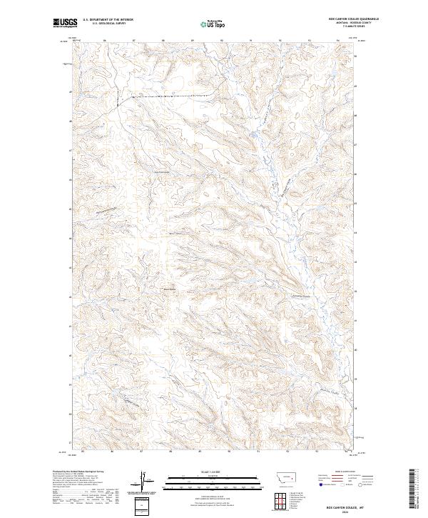
2024 Map of Box Canyon Coulee
USGS Topo · Published 2024About this map
Black Buttes dominates the central landscape of this Rosebud County quadrangle, where the deeply dissected drainage patterns typical of eastern Montana’s high plains are on full display. The area is defined by a network of seasonal watercourses and topographic depressions including Lone Tree Coulee, Hammerstrom Coulee, and Box Canyon Coulee. These landforms reflect the erosion of the local plateaus, creating a complex series of ridges and draws that historically dictated the movement of livestock and the placement of early ranching tracks. Surveyed in the early 21st century, the map details the intricate hydrography of Sand Creek and Jack Creek, which serve as the primary drainage for the surrounding basins. Significant for understanding the township and range divisions of the region, the sheet spans several boundaries including t8n r42e and t8n r43e, marking the transition between localized coulees like Zumwalt Coulee and Pennick Coulee.
Find a feature on this map
15 named features on this map. Tap any name to fly to it.
Don’t see what you’re looking for? This feature index may not catch every label — zoom into the map to look around manually.
Map Details
Editions of this 2024 Box Canyon Coulee Map
This is the sole edition of this map. No revisions or reprints were ever made.
Other maps of this area

1954 · Forsyth
USGS Topo · 1:250,000

1957 · Forsyth
USGS Topo · 1:250,000

1958 · Forsyth
USGS Topo · 1:250,000

1968 · Orinoco
USGS Topo · 1:24,000

1968 · Rosebud
USGS Topo · 1:24,000

1968 · Box Canyon Coulee
USGS Topo · 1:24,000

1968 · Sand Buttes
USGS Topo · 1:24,000

1968 · Schultz Coulee
USGS Topo · 1:24,000

1968 · Thurlow
USGS Topo · 1:24,000

1969 · Wild Horse Pass SE
USGS Topo · 1:24,000