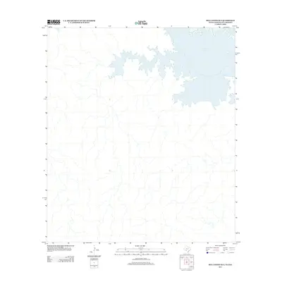
2013 Map of Box Canyon OE S
USGS Topo · Published 2013About this map
Amistad Reservoir dominates the northeastern landscape of this 2013 survey, its branched fingers reaching into the surrounding terrain where the international boundary between Texas and Mexico is defined by the underlying river course. The map illustrates a largely undeveloped region characterized by the intricate drainage systems that feed toward the Rio Grande. Though primarily featuring the expansive waters of the reservoir, the detail provided by the U.S. Geological Survey shows the fine contours and intermittent stream beds that define this borderland environment during the early 21st century.
Find a feature on this map
1 named feature on this map. Tap any name to fly to it.
Don’t see what you’re looking for? This feature index may not catch every label — zoom into the map to look around manually.
Map Details
Editions of this 2013 Box Canyon OE S Map
This is the sole edition of this map. No revisions or reprints were ever made.
Other maps of this area
1941 · Feely
USGS Topo · 1:62,500
1943 · Devils River
USGS Topo · 1:62,500
1944 · Devils River
USGS Topo · 1:62,500
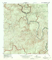
1944 · Mouth Of Pecos
USGS Topo · 1:62,500
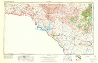
1958 · Del Rio
USGS Topo · 1:250,000
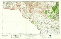
1964 · Del Rio
USGS Topo · 1:250,000
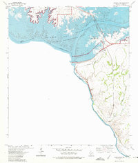
1972 · Amistad Dam
USGS Topo · 1:24,000
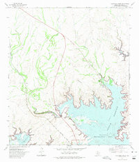
1972 · California Creek
USGS Topo · 1:24,000
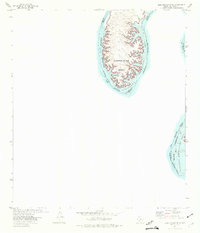
1972 · Zuberbueler Bend
USGS Topo · 1:24,000
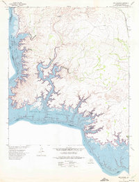
1972 · Box Canyon
USGS Topo · 1:24,000