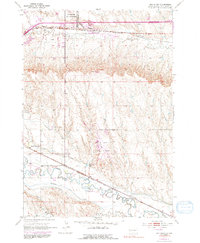
1953 Map of Box Elder
USGS Topo · Published 1991About this map
Ellsworth Air Force Base and the Rapid City Regional Airport dominate the landscape of Pennington County in this mid-century topographic survey. The map illustrates a complex transportation and irrigation network, featuring the Chicago Milwaukee St Paul and Pacific and the Chicago and North Western railroads alongside a dedicated U. S. Government Railroad spur. The development of the high plains is evident in the dense concentration of water management features, including the Iowa Ditch, Hawthorne Ditch, and the Chicago Milwaukee St Paul and Pacific Canal. Local community life is marked by the White Eagle Sch, Lone Tree Sch, and the Rapid Valley Community Hall. The terrain transitions from the winding course of Rapid Creek in the south to the military and civil aviation hubs that defined the regional economy during the early Cold War era.
Find a feature on this map
24 named features on this map. Tap any name to fly to it.
Don’t see what you’re looking for? This feature index may not catch every label — zoom into the map to look around manually.
Map Details
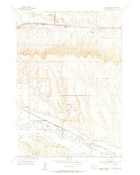
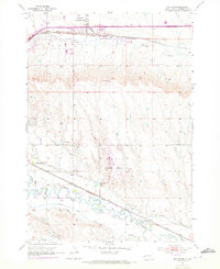
Editions of this 1953 Box Elder Map
4 editions found
Other maps of this area

1893 · Rapid
USGS Topo · 1:125,000

1894 · Hermosa
USGS Topo · 1:125,000

1898 · Rapid
USGS Topo · 1:125,000

1901 · Hermosa
USGS Topo · 1:125,000

1903 · Rapid
USGS Topo · 1:125,000

1953 · Bend
USGS Topo · 1:24,000

1953 · Boxelder
USGS Topo · 1:24,000

1953 · Hermosa NW
USGS Topo · 1:24,000

1953 · Rapid City East
USGS Topo · 1:24,000

1953 · Rapid City NW
USGS Topo · 1:24,000