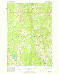
1969 Map of Box Lake
USGS Topo · Published 1971About this map
Payette National Forest defines the high-altitude landscape of this Idaho interior, documented just before the 1970s. The region is characterized by a dense network of glacial basins and alpine lakes, including the prominent Box Lake, Pearl Lake, and the remote Cly Lakes. A series of primitive paths like the Twentymile Trail and various Pack Trail routes provide the primary means of navigating the drainages of Lick Creek and the North Fork Lake Fork. These trails connect significant landmarks such as Lick Creek Summit and Foolhen Meadows, offering a view of the backcountry as it was managed and surveyed by the Forest Service in the mid-20th century. High points like South Loon Mtn and Beaverdam Peak overlook a terrain where hydrology dictates the movement of people and livestock through the seasonal mountain passes.
Find a feature on this map
46 named features on this map. Tap any name to fly to it.
Don’t see what you’re looking for? This feature index may not catch every label — zoom into the map to look around manually.
Map Details
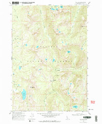
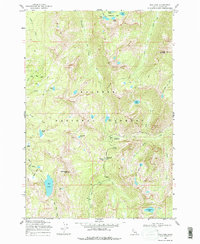
Editions of this 1969 Box Lake Map
3 editions found
Other maps of this area

1911 · Meadows
USGS Topo · 1:125,000

1938 · Riggins
USGS Topo · 1:96,000

1945 · Riggins
USGS Topo · 1:125,000

1955 · Baker
USGS Topo · 1:250,000

1955 · Grangeville
USGS Topo · 1:250,000

1956 · Elk City
USGS Topo · 1:250,000

1957 · Challis
USGS Topo · 1:250,000

1959 · Baker
USGS Topo · 1:250,000

1959 · Grangeville
USGS Topo · 1:250,000

1960 · Elk City
USGS Topo · 1:250,000