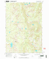
1969 Map of Box Lake
USGS Topo · Published 1978About this map
Payette National Forest dominates this high-altitude landscape in Valley County, where the topography of the Salmon River Mountains is defined by deep glaciated basins and sharp peaks. The northern reaches of the sheet are traversed by the Warren Wagon Road, a critical historical corridor for mining access. The map reveals an intricate network of alpine water systems, centered around the large Box Lake and the Twentymile Lakes chain near the northern boundary.
Find a feature on this map
41 named features on this map. Tap any name to fly to it.
Don’t see what you’re looking for? This feature index may not catch every label — zoom into the map to look around manually.
Map Details
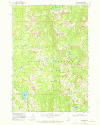
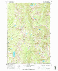
Editions of this 1969 Box Lake Map
3 editions found
Other maps of this area

1911 · Meadows
USGS Topo · 1:125,000

1938 · Riggins
USGS Topo · 1:96,000

1945 · Riggins
USGS Topo · 1:125,000

1955 · Baker
USGS Topo · 1:250,000

1955 · Grangeville
USGS Topo · 1:250,000

1956 · Elk City
USGS Topo · 1:250,000

1957 · Challis
USGS Topo · 1:250,000

1959 · Baker
USGS Topo · 1:250,000

1959 · Grangeville
USGS Topo · 1:250,000

1960 · Elk City
USGS Topo · 1:250,000