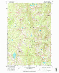
1969 Map of Box Lake
USGS Topo · Published 1978About this map
Payette National Forest dominates this high-elevation terrain in Valley County, where a complex network of glacial cirques and alpine basins defines the landscape. The survey captures a primitive wilderness state, marked primarily by a system of pack trails that connect a dense concentration of mountain lakes. Water drains through multiple directions via Twentymile Creek and the headwaters of Lick Creek, which flows southeast from its namesake Lick Creek Summit. High points like South Loon Mtn and Beaverdam Peak overlook isolated water bodies including Box Lake, Pearl Lake, and the remote Cly Lakes. The prevalence of benchmarked elevations, such as BM 5908 and BM 6615, indicates the precise mapping required for this steep backcountry before modern road development reached these higher basins.
Find a feature on this map
41 named features on this map. Tap any name to fly to it.
Don’t see what you’re looking for? This feature index may not catch every label — zoom into the map to look around manually.
Map Details
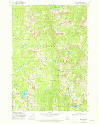
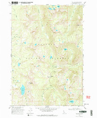
Editions of this 1969 Box Lake Map
3 editions found
Other maps of this area

1911 · Meadows
USGS Topo · 1:125,000

1938 · Riggins
USGS Topo · 1:96,000

1945 · Riggins
USGS Topo · 1:125,000

1955 · Baker
USGS Topo · 1:250,000

1955 · Grangeville
USGS Topo · 1:250,000

1956 · Elk City
USGS Topo · 1:250,000

1957 · Challis
USGS Topo · 1:250,000

1959 · Baker
USGS Topo · 1:250,000

1959 · Grangeville
USGS Topo · 1:250,000

1960 · Elk City
USGS Topo · 1:250,000