
1953 Map of Boxelder
USGS Topo · Published 1954About this map
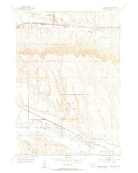
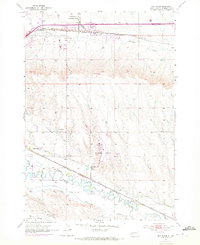
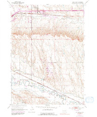
Ellsworth Air Force Base and the Rapid City Municipal Airport dominate the landscape of Pennington County in the early 1950s, highlighting the strategic and civil aviation importance of this South Dakota region. The plains are a complex web of water management and transport, featuring the Iowa Ditch, Hawthorne Ditch, and the St Germaine Ditch alongside the meandering Rapid Creek. Settlement patterns are defined by the convergence of major rail lines, including the Chicago and North Western and the Chicago Milwaukee St Paul and Pacific, which served the small community of Boxelder and the H O Siding. Local rural life is evidenced by the White Eagle Sch, Lone Tree Sch, and the Rapid Valley Community Hall, while an Abandoned South Side Canal points to shifting irrigation practices in the valley.
Find a feature on this map
21 named features on this map. Tap any name to fly to it.
Don’t see what you’re looking for? This feature index may not catch every label — zoom into the map to look around manually.
Map Details
Editions of this 1953 Boxelder Map
4 editions found
Other maps of this area

1893 · Rapid
USGS Topo · 1:125,000

1894 · Hermosa
USGS Topo · 1:125,000

1898 · Rapid
USGS Topo · 1:125,000

1901 · Hermosa
USGS Topo · 1:125,000

1903 · Rapid
USGS Topo · 1:125,000

1953 · Bend
USGS Topo · 1:24,000

1953 · Hermosa NW
USGS Topo · 1:24,000

1953 · Rapid City East
USGS Topo · 1:24,000

1953 · Rapid City NW
USGS Topo · 1:24,000

1953 · New Underwood SW
USGS Topo · 1:24,000