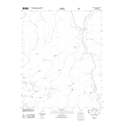
2011 Map of Boxley
USGS Topo · Published 2011About this map
The Buffalo River carves through the central corridor of this Newton County landscape, anchoring a valley where the settlement of Boxley sits at the junction of several drainage systems. This early 21st-century survey illustrates a deeply dissected terrain characterized by numerous named hollows, including Harve Hollow, Lewis Hollow, and Panther Camp Hollow, which feed into major watercourses like Beech Creek and Edgeman Creek. The orientation of these hollows around high points such as Cave Mountain and Hurricane Ridge highlights the historical reliance on narrow valleys for transit and habitation.
Find a feature on this map
43 named features on this map. Tap any name to fly to it.
Don’t see what you’re looking for? This feature index may not catch every label — zoom into the map to look around manually.
Map Details
Editions of this 2011 Boxley Map
This is the sole edition of this map. No revisions or reprints were ever made.
Other maps of this area

1900 · Eureka Springs
USGS Topo · 1:125,000

1901 · Eureka Springs
USGS Topo · 1:125,000

1904 · Harrison
USGS Topo · 1:125,000

1905 · Harrison
USGS Topo · 1:125,000

1945 · Harrison
USGS Topo · 1:250,000

1949 · Harrison
USGS Topo · 1:250,000

1954 · Harrison
USGS Topo · 1:250,000

1956 · Russellville
USGS Topo · 1:250,000

1958 · Harrison
USGS Topo · 1:250,000

1964 · Russellville
USGS Topo · 1:250,000